What is recorded here
Inishmore Island in Lough Arrow still holds a small motte and bailey castle beside open water. The grassy mound rises four and a half metres above its ditch, while a broader platform lies south of the fosse. Both remain visible in pasture, preserving the shape of a defended house rather than a forgotten heap.
In pasture, on the W shoreline of Inishmore Island in Lough Arrow. The motte consists of a grass-covered flat-topped mound (diam. at top 4m N-S; 5.7m E-W; diam. at base c. 23m; H 4.5m) with steeply sloping sides. The mound is highest on the W side due to the natural slope down to the shoreline. There is a flat-bottomed fosse around the base of the mound except along the W arc where the edge of the mound slopes down to the shoreline. Rock outcrop is evident in the fosse at NE. An external flat-topped bank (Wth 3.6m; int. H 2m to base of fosse; ext. H 1.1m) is evident NW-NNE. Immediately outside the fosse at S is a roughly rectangular platform (12.5m N-S; 15m E-W) or bailey defined by a fosse along the N and S sides, that on the S side being less well defined, and by a steep-sided scarp on the W side; the E side is indistinct. The nature of irregular lines of submerged boulders noted at the shoreline immediately to N of the mound remains unclear. The form of the mound and the attached platform are consistent with a small earthwork castle.
Compiled by: Archaeological Survey Unit, UCC with revisions by Patrick F. O'Donovan and Paul Walsh
Date of upload: 20 June 2011
The monument record does not grant public access. Check the route and ask the landowner before entering private land.
- What survives
- Recorded monument
Places near here
 TumulusCastle, motte · 22 yd
 InishmoreIslet · 127 yd
 Monastery (in Ruins)Church · 604 yd
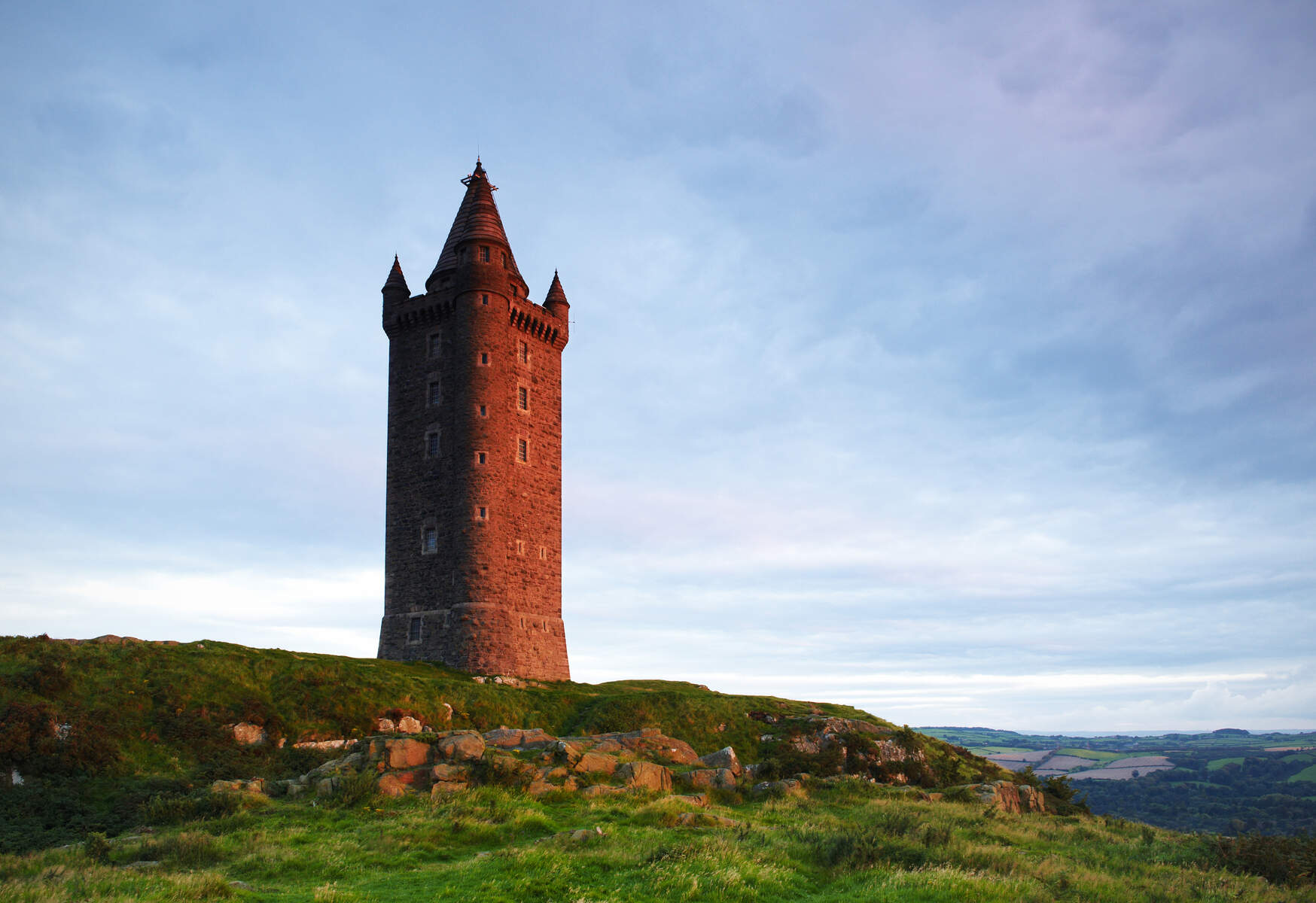 Tower (in Ruins)Structure · 758 yd
 Annaghgowla IslandIslet · 825 yd
 Enclosure in Barroe SouthEnclosure · 1141 yd
 Ballindoon Castle (in Ruins)Castle, unclassified · 1154 yd
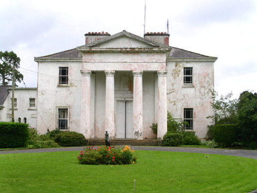 Ballindoon Housecountry house · 1236 yd
 Loughbrick BayBay · 1.3 mi
 Barroe NorthMountain / peak · 1.6 mi
 Bricklieve MountainsMountain / peak · 2.2 mi
 Treanscrabbagh caveCave · 2.8 mi