
Places near here
Photo credits
- Otter, Wikimedia Commons · CC BY-SA 4.0
- Kenneth Allen, Geograph · CC BY-SA 2.0
- Watty Graham’s GAC website; individual photographer not named, www.wattygrahamsgac.com
- Rossographer, Wikimedia Commons · CC BY-SA 2.0
- Kenneth Allen, Wikimedia Commons · CC BY-SA 2.0
- Michael Murtagh, Geograph · CC BY-SA 2.0
- Michael Corcoran / The Saffron Gael, thesaffrongael.com
- Michael Murtagh, Wikimedia Commons · CC BY-SA 2.0
- Paul O'Brien, Geograph · CC BY-SA 2.0
 Portal tomb: tirnony dolmen in TirnonyPortal Tomb: Tirnony Dolmen · 567 yd
Explorer Tom The Tirnony dolmen is in state care, meaning the government thinks it’s special but won’t pay for a fence. It would…
 Tirnony DolmenArchaeological place · 567 yd
Explorer Tom Tirnony Dolmen in County Derry is basically a stone bench that got promoted to monument status and now acts all…
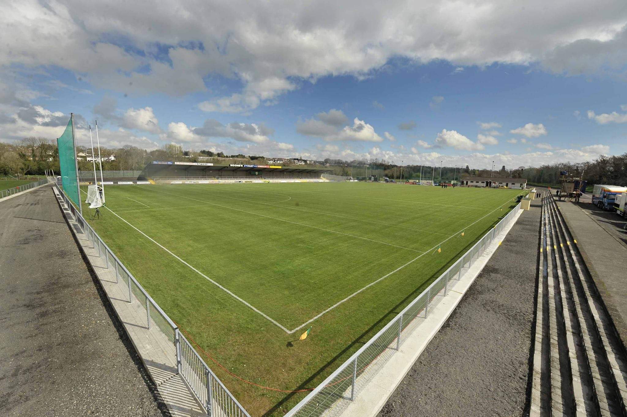 Watty Graham Park, Watty Graham's GAA, GlenGAA ground · 1.2 mi
 Ulster BankBank · 1.4 mi
Explorer Tom This Ulster Bank branch is Grade B1, which means it’s fancy, but I suspect a pigeon lives there full-time now. It…
 Presbyterian ChurchChurch · 1.5 mi
Explorer Tom Presbyterian Church in Maghera is keeping its secrets tighter than a miser with his coins. I heard it whispers to the…
 Craigadick Picnic AreaPicnic place · 1.5 mi
Explorer Tom Craigadick Picnic Area has a bird that refuses to leave, probably because it likes the smell of old chips. It’s south…
 Drumnaph ForestWood · 1.7 mi
Explorer Tom Drumnaph Wood near Maghera is a surviving scrap of the great woodland that once covered much of mid-Ulster. Its…
 Emmet Park, SlaughtneilGAA ground · 1.9 mi
 Altkeeran WaterfallWaterfall · 2.6 mi
Explorer Tom Altkeeran Waterfall’s New Year's resolution was to flow a little bit faster next year. It’s basically just a river…
 Corick MountainMountain / peak · 4.8 mi
Explorer Tom Corick Mountain in County Derry acts like it’s got a secret life when nobody is looking at it, probably rearranging its…
 Craig-na-ShokeCliff · 5.5 mi
Explorer Tom Craig-na-Shoke in County Derry is a cliff known as Eagle's Rock, probably because an eagle once got its hat stuck there…
 White MountainMountain / peak · 5.8 mi
Explorer Tom White Mountain in County Derry keeps its secrets so tight that even the lichen growing on it has sworn to stay quiet…
More archaeology and monuments in County Derry · All of County Derry

What do you know about this place?Tap to add a comment or ask a question