
What is recorded here
Double-arch limestone road bridge over river, built c.1830. Segmental arches with cut-stone voussoirs and squared stone soffits. Squared limestone parapet walls with cement copings, rendered to carriageway elevations. Cement rendered V-cutwaters to bridge elevations.
This well-executed stone bridge is a picturesque landmark on the river, employing local materials in its construction, with cut limestone to the voussoirs, soffits, spandrels, parapet wall and buttresses. It spans a river flowing from the south-east to the north to Muckno Lough Lower to the south. That the bridge remains in use in its present form is testament to the quality of its construction.
This does not grant access. Most recorded buildings are privately owned; view them only from public ground unless the owner allows entry.
Places near here
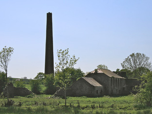 Drumleek Flax Millmill (water) · 1551 yd
 IndicatedCrannog · 1671 yd
 bridgebridge · 1.0 mi
 Crane IslandIsland · 1.4 mi
 Dairy HillMountain / peak · 1.6 mi
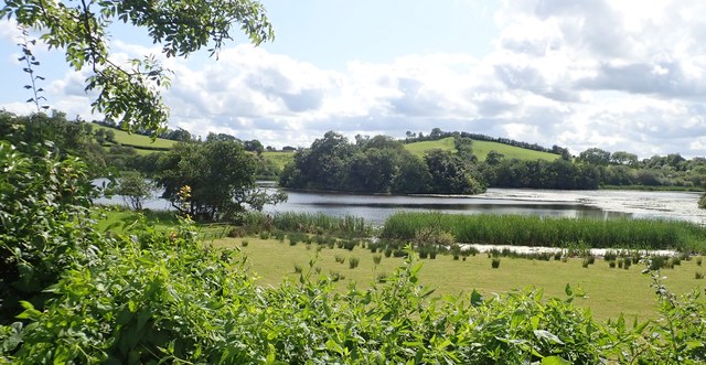 CRANNOG IN LISLEITRIM LOUGH in Kiltybane OR LisleitrimCRANNOG IN LISLEITRIM LOUGH · 1.7 mi
 Garmany's IslandIslet · 1.8 mi
 Lough MucknoLake and park landscape · 1.9 mi
 Blaney CastleCastle · 2.6 mi
 Bawn in OnomyBawn · 2.7 mi
 John Francis GreenMemorial · 2.7 mi
 Big Tom Memorial StatueMemorial · 2.7 mi
Other information
Photo: National Inventory of Architectural Heritage · Website use allowed for educational or private purposes with source credit