What is recorded here
On the S bank of the W-flowing Inagh River. A water mill is depicted stylistically on the Down Survey barony map of Corcomroe (1655-8). A small L-shaped building labelled ‘Tuck Mill’ is depicted in the area on the first edition (1840) of the OS 6-inch map but is not shown on the later, Cassini edition (1916) of the map. No visible remains survive.
Compiled by: Gearóid Conroy and Eve Campbell
Date of upload: 8-10-2025
The monument record does not grant public access. Check the route and ask the landowner before entering private land.
- What survives
- Recorded monument
Places near here
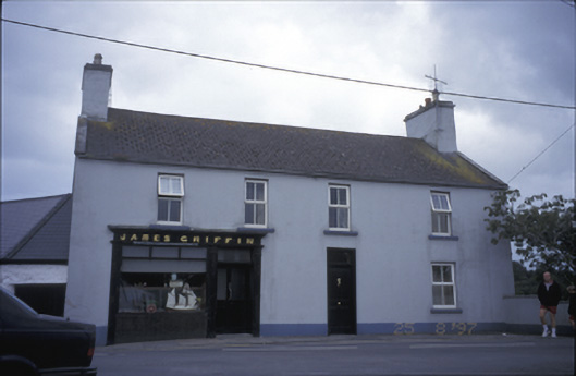 James Griffinhouse · 90 yd
 Catholic Church of Our Lady and Saint Michaelchurch/chapel · 113 yd
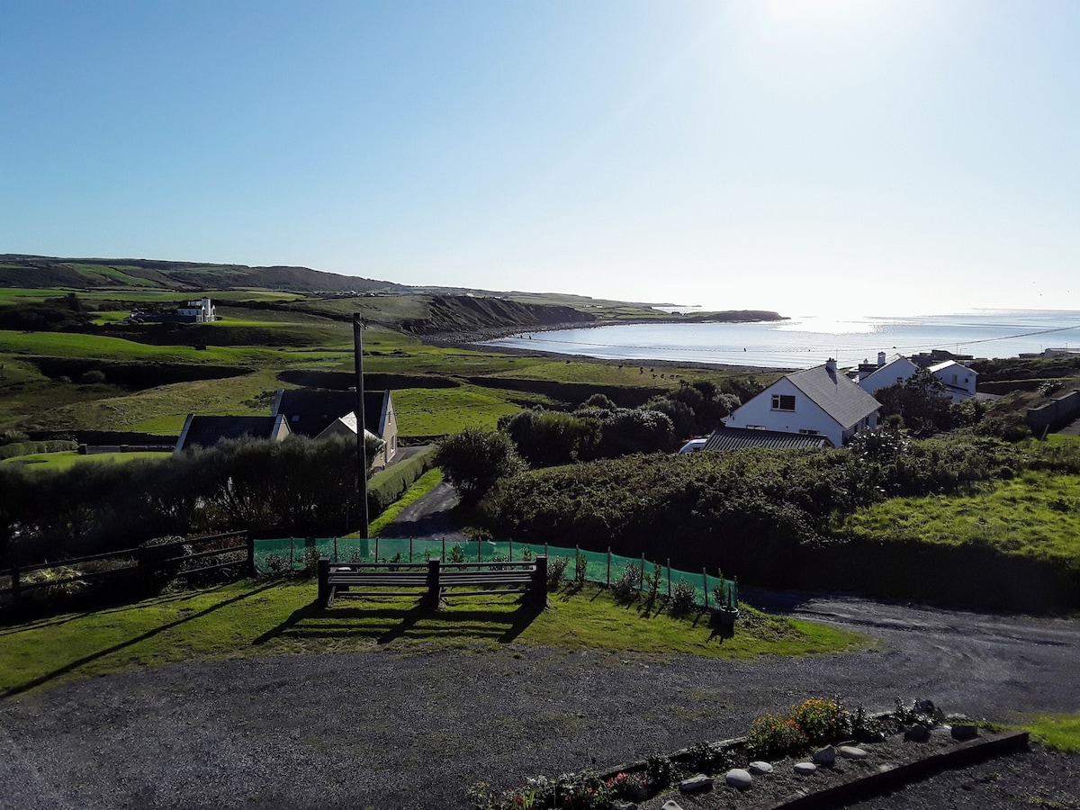 LissabaddraduffFairy fort / earthen ringfort · 1229 yd
 Glen Castle (in Ruins)Castle, tower house · 1269 yd
 Famine MemorialMemorial · 1346 yd
 LissydeelaFairy fort / earthen ringfort · 1523 yd
 Kilmanahn GraveyardRuins · 1636 yd
 Fort Ho.Bawn · 2.2 mi
 Lahinch BeachBeach / strand · 2.5 mi
 TullygarvanWood · 2.6 mi
 John P. Holland CentreMuseum · 4.1 mi
 Burren Centre KilfenoraVisitor information · 4.8 mi