DDiscover AloneMapAbout

Tower

Signal tower
Computer-made picture that does not show TowerNot a photo of this monument
Computer-made picture. It does not show this monument. · Report the wrong picture

The monument record does not grant public access. Check the route and ask the landowner before entering private land.

What do you know about this place?Tap to add a comment or ask a question

What you write will be public.

What is recorded here

Situated at the edge of an area of flat enclosed pasture, to immediate E, S and SE (c. 32m) of a shingle beach on the E shores of Killala Bay (7m OD). The surrounding area consists of enclosed pasture of linear fields defined by wire fences that are built over collapsed earlier rubble stone field boundary walls. The…

Read the whole record
Situated at the edge of an area of flat enclosed pasture, to immediate E, S and SE (c. 32m) of a shingle beach on the E shores of Killala Bay (7m OD). The surrounding area consists of enclosed pasture of linear fields defined by wire fences that are built over collapsed earlier rubble stone field boundary walls. The signal tower site has unobstructed views in all directions. Creevagh Signal Tower (MA007-015002-), located c. 14.8kms to the W\WSW, has been demolished and can no longer be seen from the site. The upper levels of Rathlee Signal Tower (SL011-025001-), located c. 1.7kms to the SSE, are visible from this site. The view to the well-preserved Carrowmably\Carrowmabla Signal Tower (SL012-08003-), located c. 12kms to the ESE, is now obscured by intervening trees. Signal tower located c. 576m NNW of the remains of a probable late medieval church (SL010-024----) and burial ground (SL010-024001-) at Carrowmacbryan. The remains of an early nineteenth-century (c. 1804-6) two-storey square-plan signal tower. The signal station consists of the low fragmentary remains of the signal tower, built with roughly coursed limestone rubble (int. dims. 4.32 SW-NE x 4.57 NW-SE; wall H. 3.48m). The structure is in poor condition with none of the fragmentary walls surviving above ground floor level. The SE wall has the typical shallow outwards bulge to chimney flue. A chute passes through the SW part of the SE wall, sloping down steeply as it passes through the body of the wall. These features allow for the likely orientation of the signal tower to be determined; the SE wall would have housed the central fireplaces (with chimneystack above parapet level) with the flanking alcoves to the ground and first floor levels, the NW wall would have featured the first floor doorway, and the NE and SW walls would have featured pairs of window openings at ground floor and first floor levels. Internally, the SW wall features a poorly-preserved slot with some joist holes that would have held the timber floor structure at ground floor level. It is possible that the construction of this signal tower was halted during construction, and that the site was changed to nearby Rathlee (SL011-025001-), located to the SE, where a signal tower was then completed (Moore & Robinson 2014, 19). The remains of a probable lime kiln are located 14.5m W of the signal tower, which was possibly used during the construction of this site. The probable kiln (ext. dims 2.9m E-W x 1.7m N-S) consists of a shallow oval depression filled with loose random rubble stones. A few small sections of intact stonework can be seen around the sides of the kiln. Collapsed rubble stone field walls (Wth c. 1.6m; H. c. 0.3m) connect to the signal tower at its N and S corners. These survive only as grassed-over banks of collapsed rubble stone. The signal tower was part of a system of over 80 signal stations constructed by the British Board of Ordnance in the first decade of the 19th century to warn of the approach of a French invasion fleet. Signalling between sites was accomplished using a naval signal post. The system formed a continuous chain from Dublin Bay running clockwise all the way around the coast to Malin Head in County Donegal. It was abandoned by the mid-1810s when the threat of a French invasion diminished (Kerrigan 1995, 157-66).

From the National Monuments Service (Archaeological Survey of Ireland) record SL010-001002

Places near here

Photo credits
  • Mike Searle, Geograph · CC BY-SA 2.0
  • Maker not stated on source page, www.alamy.com
  • Maker not stated on source page, irishheritagenews.ie
  • Maker not stated on source page, www.flickr.com
  • Bill Henderson, Geograph · CC BY-SA 2.0
  • Maker not stated on source page, commons.wikimedia.org
  • Maker not stated on source page, en.wikipedia.org
  • Easkey GAA (official club account publisher); individual photographer not named, x.com
  • Mick Garratt, commons.wikimedia.org
  • Mick Garratt, Wikimedia Commons · CC BY-SA 2.0
  • A McCarron, Wikimedia Commons · CC BY-SA 2.0
  • Liz McCabe, Wikimedia Commons · CC BY-SA 2.0
Rathlee Signal TowerRuins · 1.0 mi

Explorer Tom Rathlee Signal Tower in County Sligo stands there like it’s waiting for an apology from the British army. A local bloke…
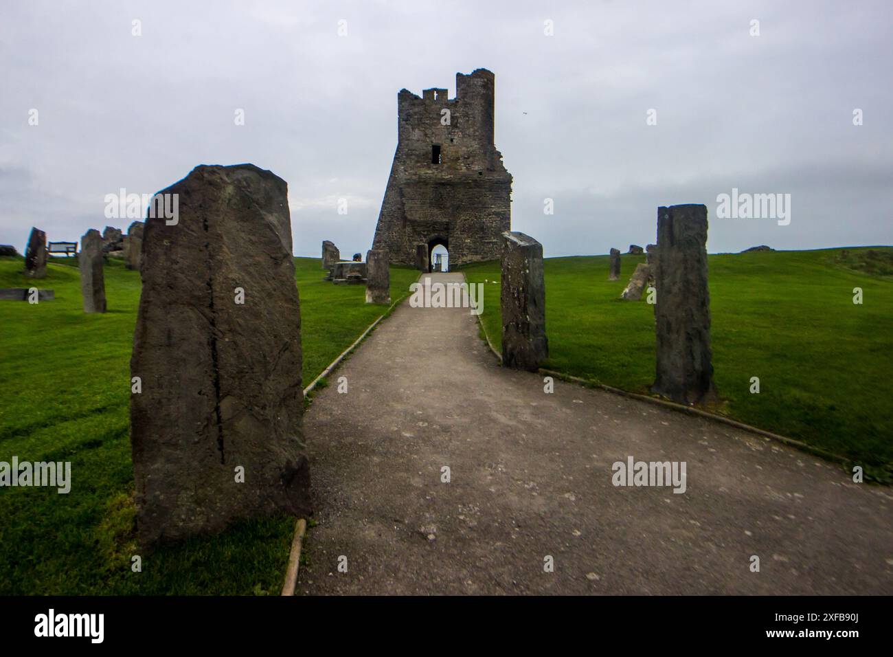
Standing stone in Carrownrush (tireragh By., Easky West Ed)Standing stone · 1.6 mi

Explorer Tom Standing stone in Carrownrush tilts westward like it’s waiting for the sun to set so it can go home. Locals say there’s…

Fairy fort / earthen ringfort in Carrownrush (tireragh By., Easky West Ed)Fairy fort / earthen ringfort · 1.6 mi

Explorer Tom Fairy fort in Carrownrush had an escape plan involving a stone-lined entrance, but I think the first owner just got…

CastleCastle, unclassified · 1.6 mi

Explorer Tom Castle in Rathlee bragged about surviving a storm so big it made the river swim backwards. The ruins are still…

Catholic Church of the Star of the SeaChurch/chapel · 1.7 mi

Explorer Tom Catholic Church of the Star of the Sea in Rathlee gave up stained glass for Lent, which was a bold move given how…

Wedge tomb in Carrownrush (tireragh By., Easky West Ed)Wedge tomb · 1.8 mi

Explorer Tom Wedge tomb in Carrownrush is sick of people asking if it's a giant's bed or a weird hat. It wants you to know it's…

Fairy fort / earthen ringfort in Cabragh (tireragh By.)Fairy fort / earthen ringfort · 1.8 mi

Explorer Tom Fairy fort / earthen ringfort in Cabragh claims a goat ruled it for three centuries, eating all the grass and judging…
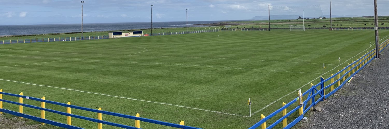
Easkey GAAGAA ground · 3.1 miEnniscrone/Kilglass GAA pitchGAA ground · 3.8 miSt. Patrick's CemeteryCemetery · 4.6 mi

Explorer Tom St. Patrick's Cemetery is bragging about surviving a storm so fierce it blew a cow into the sky, though I suspect that…

Céide FieldsHeritage attraction · 16 mi

Explorer Tom The Céide Fields are under your boots, which is cheeky of them. Céide Fields has a habit of hiding its biggest feature…
Ceide FieldsHeritage attraction · 16 mi

Explorer Tom Ceide Fields would write on its dating profile: 'Ancient, stone-walled, looking for someone who appreciates good…

More archaeology and monuments in County Sligo · All of County Sligo

Add to this placeAdd a picture Add a detailed tip Add a story

Explore the map1,095,414 places to discover

Next place · or swipeRathlee Signal Tower