What is recorded here
Shown on 1842 OS 6-inch map in NW corner of walled garden to SW of Killinardrish House (CO071-072----). Ruins of hexagonal tower forms corner of garden. Small pointed 1st-floor window opes with pointed hood mouldings; slightly projecting embattled parapet supported by stepped corbels.
The above description is derived from the published 'Archaeological Inventory of County Cork. Volume 3: Mid Cork' (Dublin: Stationery Office, 1997). In certain instances the entries have been revised and updated in the light of recent research.
Date of upload/revision: 14 January 2009
The monument record does not grant public access. Check the route and ask the landowner before entering private land.
- What survives
- Recorded monument
Places near here
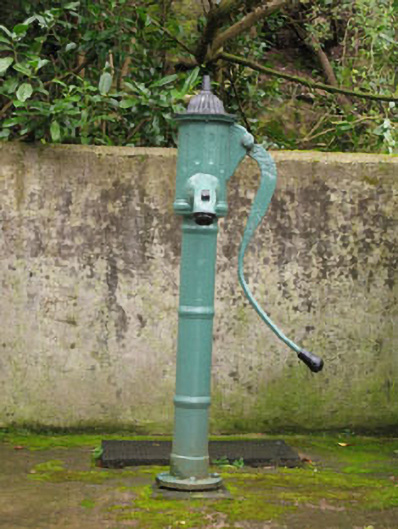 water pumpwater pump · 25 yd
 garda station/constabulary barracksgarda station/constabulary barracks · 38 yd
 Carrigadrohid Castle (in Ruins)Castle, tower house · 183 yd
 Carrigadrohid CastleHeritage attraction · 187 yd
 Carrigadrohid Castle InfoVisitor information · 307 yd
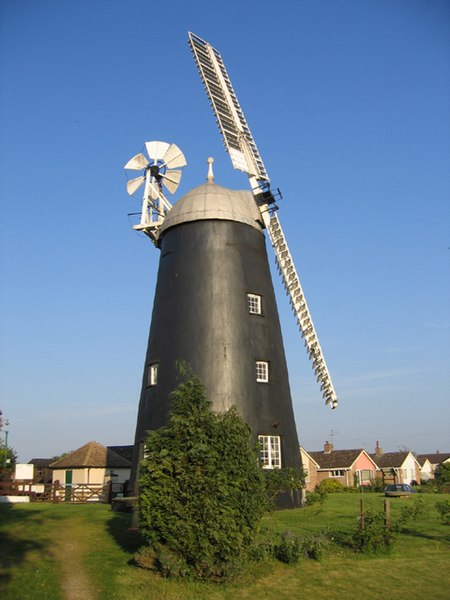 Steven's WoodWood · 1080 yd
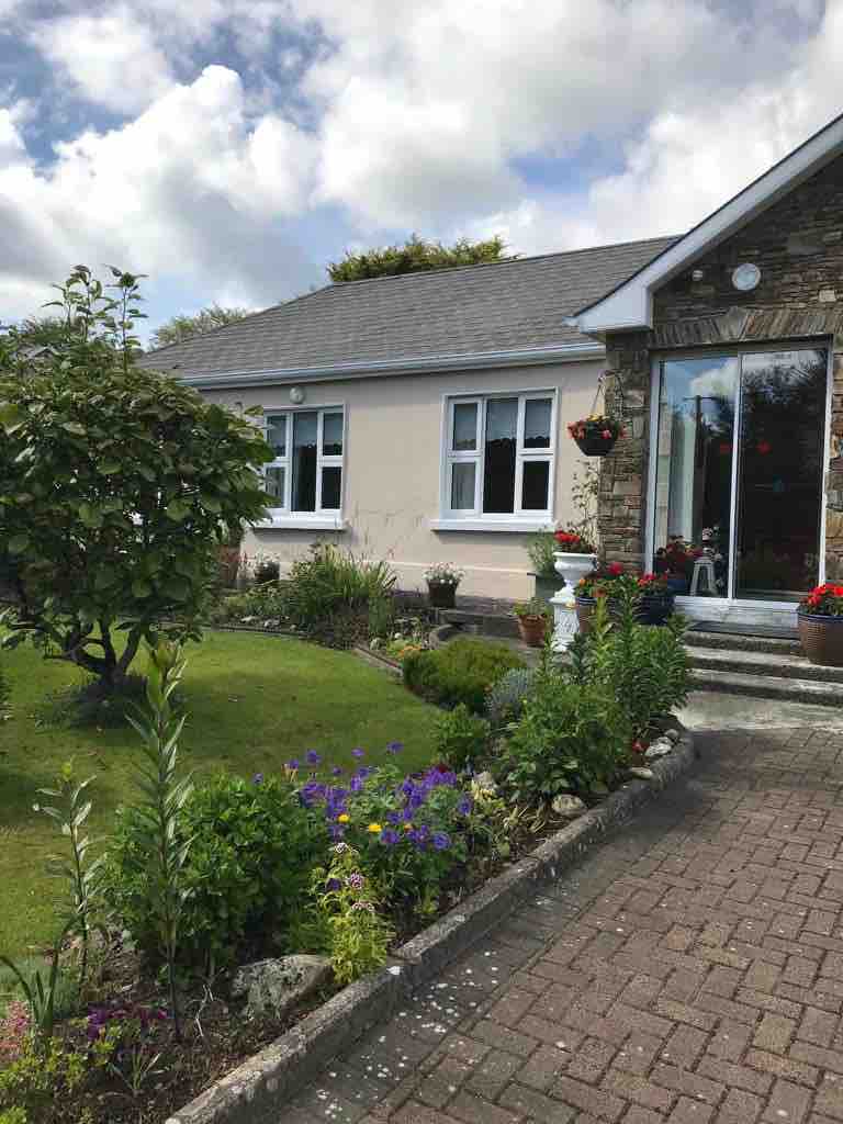 Leap WoodWood · 1119 yd
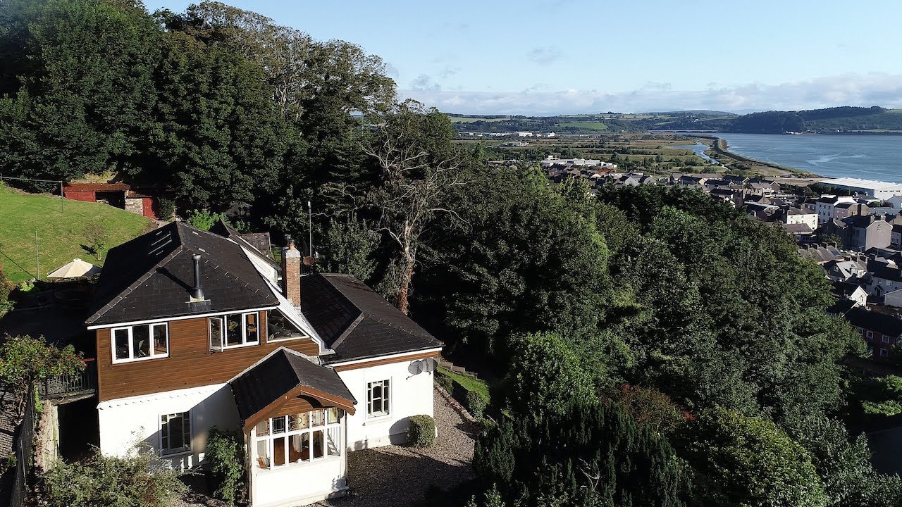 Man-made underground passage in KillinardrishMan-made underground passage · 1167 yd
 Fulacht fia in CoolnasoonFulacht fia · 1311 yd
 Mullinhassig WaterfallWaterfall · 2.1 mi
 Mashanaglass Castle (in Ruins)Castle, tower house · 2.9 mi
 Priest MemorialMemorial · 4.1 mi