
What is recorded here
Tower (in Ruins) stood as a belvedere near Aghadown Castle and Aghadown House in County Cork, Ireland. Locals called it a pigeon house until people took it down around 1916. No visible surface remains now, but the site still belongs to the designed landscape where sightlines and memory once met.
On OS 6-inch map (1842) as 'Tower (in ruins)'; to E of Aghadown Castle (CO141-052002-) and tower (CO141-052001-), and W of Aghadown House (CO141-054002-). No visible surface remains. Known locally as a "pigeon house" and taken down c. 1916 (Healy 1988, 164).
The above description is derived from the published 'Archaeological Inventory of County Cork. Volume 1: West Cork' (Dublin: Stationery Office, 1992). In certain instances the entries have been revised and updated in the light of recent research.
Date of upload/revision: 14 January 2009
The monument record does not grant public access. Check the route and ask the landowner before entering private land.
- What survives
- Recorded monument
Places near here
 Tower (in Ruins)Designed landscape, belvedere · 155 yd
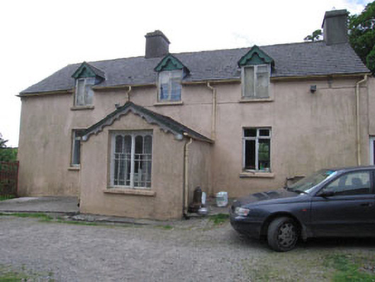 Aghadown Househouse · 166 yd
 Man-made underground passage in Paddock (carbery West (e.d) By.)Man-made underground passage · 467 yd
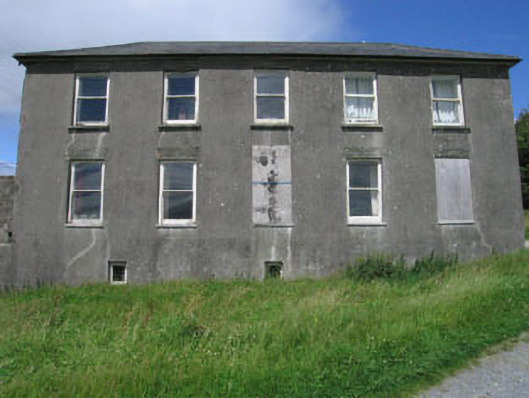 Westfield Housecountry house · 1492 yd
 Monterey CypressMonterey Cypress · 1755 yd
 Kilcoe CastleCastle · 1.8 mi
 Mannin BegIslet · 1.8 mi
 Mannin IslandIslet · 2.0 mi
 Donegall Castle (in Ruins)Castle, unclassified · 2.1 mi
 Wild Atlantic WayVisitor information · 2.2 mi
 KnockomaghMountain / peak · 3.5 mi
 Ballydehob Railway StationVisitor information · 3.8 mi
Other information
Photo: Credit not shown in the picture search · Rights wording not checked; contact us if this picture should be removed