
What is recorded here
Marianne Smith wrote in 1750 about a round tower topped by a lanthorn, offering a wide prospect of the coast and islands. That vivid description still belongs to the ruined rectangular platform on the Cork ridge, even though stone and memory have changed shape. The gazebo may have been a private pleasure, a marker, or a small defiant monument to seeing far.
Indicated on 1st ed. OS 6-inch map (1842) as 'Tower (in ruins)' adjacent to 'Ahgadown Castle (in ruins)' (CO141-052002-); by 3rd ed. OS 6-inch map (1944)' Aghadown Castle (site of)' indicated further to E. A rectangular platform (c. 11m E-W; 4.06m N-S; max. H 3.6m) now stands atop ridge with commanding view in all directions. Top of platform slopes down from W to E where it was approached by road coming up hill from Aghadown House (CO141-054002-). N face of platform has base batter; W face breaks off at springing of arch; at E end of S wall is projection with low front and concave corners. These appear to be remains of what Smith described in 1750 as 'a round tower, on its top, is a lanthorn, from whence is a prospect of the adjacent coast and islands'. (Smith 1815, vol. 1, 272). Known locally as the "gazebo". Tower (CO141-054001-) to E.
The above description is derived from the published 'Archaeological Inventory of County Cork. Volume 1: West Cork' (Dublin: Stationery Office, 1992). In certain instances the entries have been revised and updated in the light of recent research.
Date of upload/revision: 14 January 2009
The monument record does not grant public access. Check the route and ask the landowner before entering private land.
- What survives
- Recorded monument
Places near here
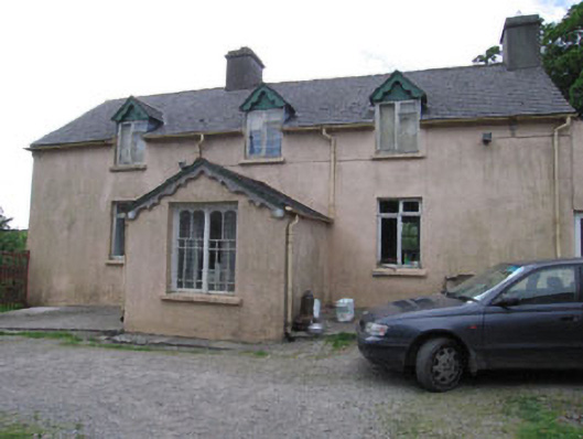 Aghadown Househouse · 267 yd
 Man-made underground passage in Paddock (carbery West (e.d) By.)Man-made underground passage · 354 yd
 Fulacht fia in Hollyhill (carbery W. (e.d) By.)Fulacht fia · 747 yd
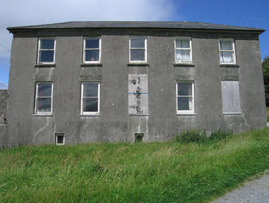 Westfield Housecountry house · 1500 yd
 Monterey CypressMonterey Cypress · 1.1 mi
 Kilcoe CastleCastle · 1.7 mi
 Mannin BegIslet · 1.7 mi
 Mannin IslandIslet · 1.9 mi
 Donegall Castle (in Ruins)Castle, unclassified · 2.1 mi
 Wild Atlantic WayVisitor information · 2.3 mi
 KnockomaghMountain / peak · 3.5 mi
 Ballydehob Railway StationVisitor information · 3.7 mi
Other information
Photo: Credit not shown in the picture search · Rights wording not checked; contact us if this picture should be removed