What is recorded here
In a small coppice of mature Beech trees, on the demesne lands of Derk House which stands 275m to SW, with excellent views from NNW-N-E-S. Tree-ring (LI024-074----) lies 100m to NNE. Annotated 'Tower' and depicted on the 1897 ed. OS 25-inch map as a circular-shaped building. Surveyed by the ASI in 2008 and described as a three-storey, circular-shaped, roofless tower constructed of rubble stone. The ground floor has a base batter and the brick around the top may have formed crenellations. The ground floor door opening has a segmental arch of brick and this style is carried through to the window openings. The walls are rendered on the interior and on the exterior. The interior is hollow, however it has a fireplace opening and a flue in the rear wall, opposite the ground floor entrance. Multiple window openings would suggest that this tower was built as a folly on the demesne lands of Derk House. Monument is obscured by mature trees on Google Earth orthoimage taken 28/06/2018. See attached Google Earth orthoimage.
In a small coppice of mature Beech trees, on the demesne lands of Derk House which stands 275m to SW, with excellent views from NNW-N-E-S. Tree-ring (LI024-074----) lies 100m to NNE. Annotated 'Tower' and depicted on the 1897 ed. OS 25-inch map as a circular-shaped building. Surveyed by the ASI in 2008 and described as a three-storey, circular-shaped, roofless tower constructed of rubble stone. The ground floor…
From the National Monuments Service (Archaeological Survey of Ireland) record LI024-075
The monument record does not grant public access. Check the route and ask the landowner before entering private land.
- What survives
- Recorded monument
Places near here
Photo credits
- National Inventory of Architectural Heritage
- EamonnPKeane, Wikimedia Commons · CC0
- Mike Searle, Wikimedia Commons · CC BY-SA 2.0
- Hywel Williams, Geograph · Creative Commons Attribution-ShareAlike 2.0
- Colin Park, Geograph · CC BY-SA 2.0
- CaitNi, Wikimedia Commons · CC BY-SA 4.0
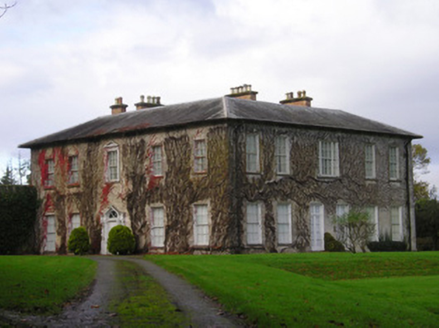 DerkCountry house · 324 yd
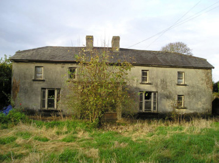 Derk CottageHouse · 1255 yd
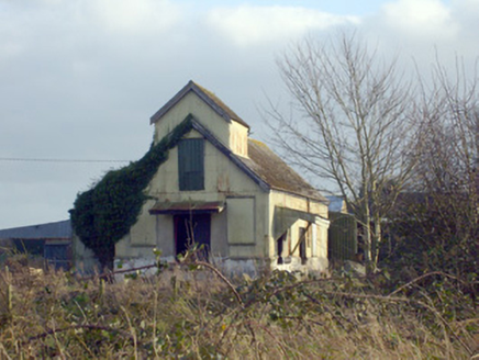 Race CreameryCreamery · 1642 yd
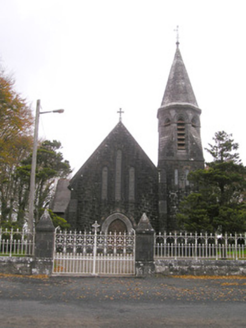 Saint Brigid's Catholic ChurchChurch/chapel · 1.3 mi
 kiln1.3 mi
 Standing stone in Longstone (cullen Par.)Standing stone · 2.4 miSt. Patrick's WellSpring · 2.7 mi
_-_geograph.org.uk_-_1542131.jpg/250px-Castles_of_Munster,_Oola,_Limerick_(2)_-_geograph.org.uk_-_1542131.jpg "Photo: Mike Searle, Wikimedia Commons · CC BY-SA 2.0") Oola Castle (in ruins)Castle, tower house · 4.0 mi
Oola Castle (in ruins)Castle, tower house · 4.0 mi Castle (in ruins)Castle, tower house · 7.7 mi
 Grave YardGraveyard · 10 mi
 SlievereaghMountain / peak · 11 mi
 CarrigeenamronetyMountain / peak · 17 mi
More archaeology and monuments in County Limerick · All of County Limerick
What do you know about this place?