What is recorded here
In woodland, on the old Killarney-Kenmare Road which is now a pedestrian trackway. The bridge (Wth 4.7m; long axis E-W) is built of random rubble and its single semental arch (span c. 5.5m) with roughly shaped voussoirs spans the Owengarriff River. There is a concrete weir on the downstream side. Torc New Bridge (KE074-036----) is c. 1km to the N.
Compiled by: Elizabeth Byrne, Ursula Egan and Sheila Ronan, Archaeological Survey Unit, University College, Cork.
Date of upload: 31 January 2011
The monument record does not grant public access. Check the route and ask the landowner before entering private land.
- What survives
- Recorded monument
Places near here
 Torc WaterfallWaterfall · 725 yd
 Muckross Lake WalkWalking route · 831 yd
 Torc New Br.Bridge · 1034 yd
 Torc MountainMountain / peak · 1072 yd
 IndicatedKiln, lime · 1297 yd
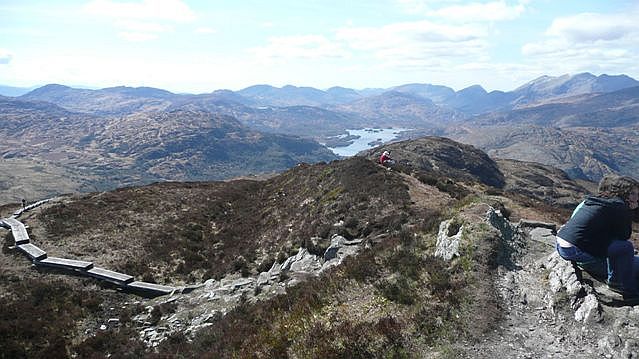 Torc Mountain W TopMountain / peak · 1717 yd
 TooreencormickBattlefield · 1.1 mi
 Monterey CypressMonterey Cypress · 1.2 mi
 ArboretumNature reserve · 1.2 mi
 Sylvan WorldMonument · 1.2 mi
 Devil's IslandIslet · 1.2 mi
 McRose BeachBeach / strand · 1.3 mi