
What is recorded here
A road bridge (Wth 6.2m; long axis E-W) spanning the Owengarriff River. It is built of random rubble limestone and a single segmental arch (span 7.5m) with roughly shaped voussoirs spans the river. A semicircular dry arch (span 2m) on the E bank appears to have been intended as a pedestrian passageway; the remains of iron gate hinges were noted on the upstream side of the arch. Torc Old Bridge (KE074-037----) is c. 1km to the S.
Compiled by: Elizabeth Byrne, Ursula Egan and Sheila Ronan, Archaeological Survey Unit, University College, Cork.
Date of upload: 31 January 2011
The monument record does not grant public access. Check the route and ask the landowner before entering private land.
- What survives
- Recorded monument
Places near here
 Muckross Lake WalkWalking route · 256 yd
 Torc WaterfallWaterfall · 348 yd
 Monterey CypressMonterey Cypress · 1060 yd
 ArboretumNature reserve · 1092 yd
 Sylvan WorldMonument · 1167 yd
 Devil's IslandIslet · 1291 yd
 Torc MountainMountain / peak · 1366 yd
 McRose BeachBeach / strand · 1484 yd
 Muckross HouseCountry house · 1527 yd
 A.W.B. (Billy) Vincent MemorialMemorial · 1615 yd
 Muckross Traditional FarmHeritage attraction · 1.0 mi
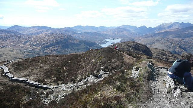 Torc Mountain W TopMountain / peak · 1.1 mi
Other information
Photo: Credit not shown in the picture search · Rights wording not checked; contact us if this picture should be removed