What is recorded here
Tonawausa is a subcircular fairy fort on a west-facing hillside in County Galway, where two earthen banks still frame a narrow ditch beneath grazing cattle. Its southern gap is a modern causeway, but the northern curve remains sharp enough to suggest the original shape. Another rath sits eighty metres away, as if the hillside held more than one chamber of human or fairy life. The field walls now bury parts of both banks, turning ancient boundaries into ordinary farm lines.
On the W-facing slope of a hill in pastureland. This subcircular rath (42.5m N-S; 40m E-W), in fair condition, is defined by two banks and an intervening fosse. The fosse and outer bank survive from NW through N to NE and from SW to W. A field wall overlies the inner bank from NE to S and another overlies the outer bank from SSW to SW. A wide causewayed gap (Wth 15m) at S is modern. Another rath (GA097-127----) lies c. 80m to the WSW.
Compiled by: Galway Archaeological Survey, UCG
Date of upload: 11 January 2018
The monument record does not grant public access. Check the route and ask the landowner before entering private land.
- What survives
- Recorded monument
Places near here
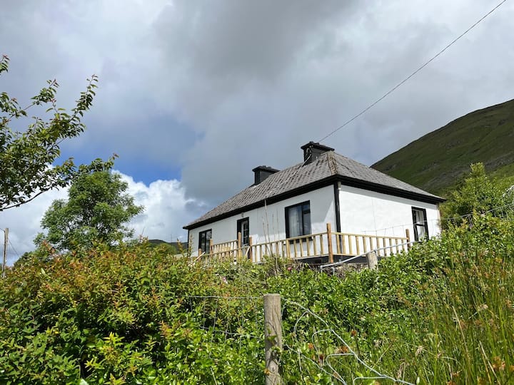 LisnagalhaghFairy fort / earthen ringfort · 648 yd
 Enclosure in BallykeeranEnclosure · 998 yd
 Turoe StoneHeritage attraction · 1742 yd
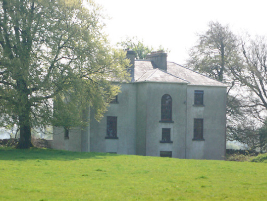 Lynchfort Househouse · 1749 yd
 R.C. ChapelChurch · 1.1 mi
 Galboley Castle (in ruins)Castle, unclassified · 1.1 mi
 Bawn in Cahernamuck WestBawn · 1.2 mi
 Barrack IslandIslet · 3.2 mi
 Middle IslandIslet · 3.2 mi
 Long PointHeadland · 4.0 mi
 Dartfield Horse MuseumHeritage attraction · 4.4 mi
 Scalpeen RockNamed rock · 8.4 mi