What is recorded here
Marked on the 1912 'OS 6-inch' map as 'Tobertoby'. According to an ASI field report, dated April 1967, it is not a holy well.
Compiled by: Claire Breen
Date of upload: 23 August 2012
The monument record does not grant public access. Check the route and ask the landowner before entering private land.
- What survives
- Recorded monument
Places near here
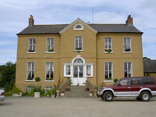 Rath Housecountry house · 736 yd
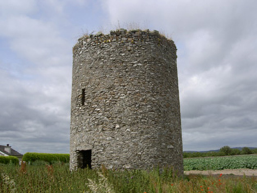 mill (wind)mill (wind) · 1169 yd
 Termonfeckin CastleCastle · 1194 yd
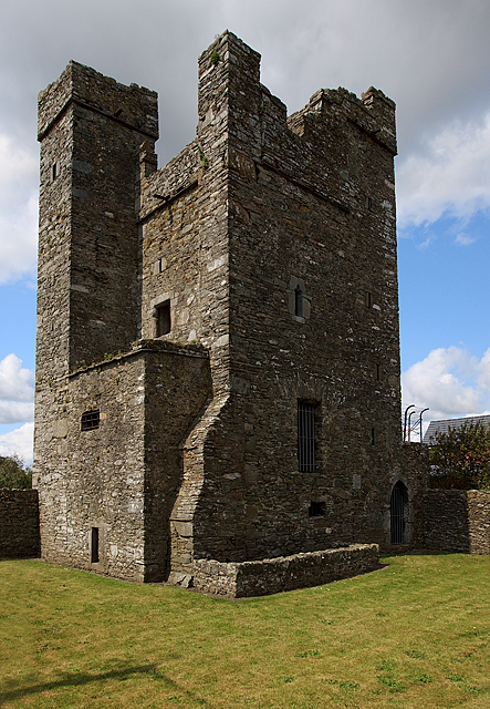 CastleCastle, tower house · 1195 yd
 CrossCross, High cross · 1303 yd
 St. Feighins WellHoly well · 1417 yd
 Beaulieu House and GardensHeritage attraction · 3.1 mi
 Chapel (in Ruins), GraveyardChurch · 4.2 mi
 Moneyveg WoodForest · 4.9 mi
 Graveyard in DysartGraveyard · 5.3 mi
 Sweet baySweet bay · 5.3 mi
 MonasterboiceEarly monastic site · 6.7 mi