
What is recorded here
At the E limits of an area of rocky scrub and marshland, and to the S of a former cluster of houses. Named 'Toberroe' in Gothic script on the 1838 and 1920 editions of the OS 6-inch maps, this well consists of a rectangular subterranean drystone chamber (L 3.4m; Wth 0.75m) constructed of rounded limestones (L 0.5m max.) and roofed by three stone lintels. Access is gained via a series of steps. On inspection, the water was approximately 1m deep. The well appeared to be disused and was overgrown with thorns and brambles. No evidence of any religious association was noted and, according to local information, the well was only ever used to provide domestic water (SMR file).
Galway Archaeological Survey, UCG
Date of upload: 9 May 2023
Toberroe is associated with Saint Roe, a 6th-century Irish saint known for her asceticism and healing miracles. The well was traditionally visited for cures related to skin ailments and general well-being, with pilgrims often collecting water on specific feast days.
The monument record does not grant public access. Check the route and ask the landowner before entering private land.
- What survives
- Recorded monument
Places near here
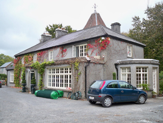 Rockhill Househouse · 638 yd
 TobersruhlinHoly well · 709 yd
 LissruhlinFairy fort / ringfort · 766 yd
 Rocklandshouse · 809 yd
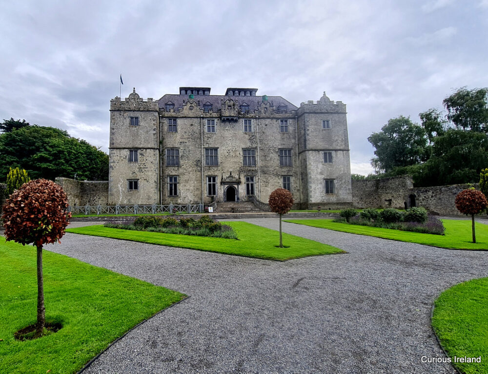 Moneyduff Castle (Site of)Castle, unclassified · 870 yd
 Bawn in Cregganna MoreBawn · 1.1 mi
 North WoodWood · 2.1 mi
 South WoodWood · 2.1 mi
 Leadmine HillMountain / peak · 2.8 mi
 Drumacoo Monastic SiteHeritage attraction · 3.9 mi
 MweenisharanIslet · 3.9 mi
 Rabbit IslandIslet · 3.9 mi
Other information
Photo: Credit not shown in the picture search · Rights wording not checked; contact us if this picture should be removed