
What is recorded here
In a hollow in low-lying farmland, immediately SW of the main Galway-Ennis road. A spring is named ‘Tobersruhlin’, in Gothic script, on the 1838 edition of the OS 6-inch map. However, on the 1920 edition, the name is appended to a well c. 30m to the NW. According to the OS Letters (O’Flanagan 1927, Vol. 1, 312), the name ‘Tobar Sruithlinn’ is ‘locally explained as signifying the well of the little stream’ and it was not ‘a perpetual spring’ as it sometimes dried up. On inspection, it was found that the natural spring fed the well, which was defined by a small drystone well-chamber roofed with one capstone. There were no votive offerings at either location or anything to suggest they were of ritual significance.
Compiled by: Galway Archaeological Survey, UCG
Date of upload: 9 May 2023
The monument record does not grant public access. Check the route and ask the landowner before entering private land.
- What survives
- Recorded monument
Places near here
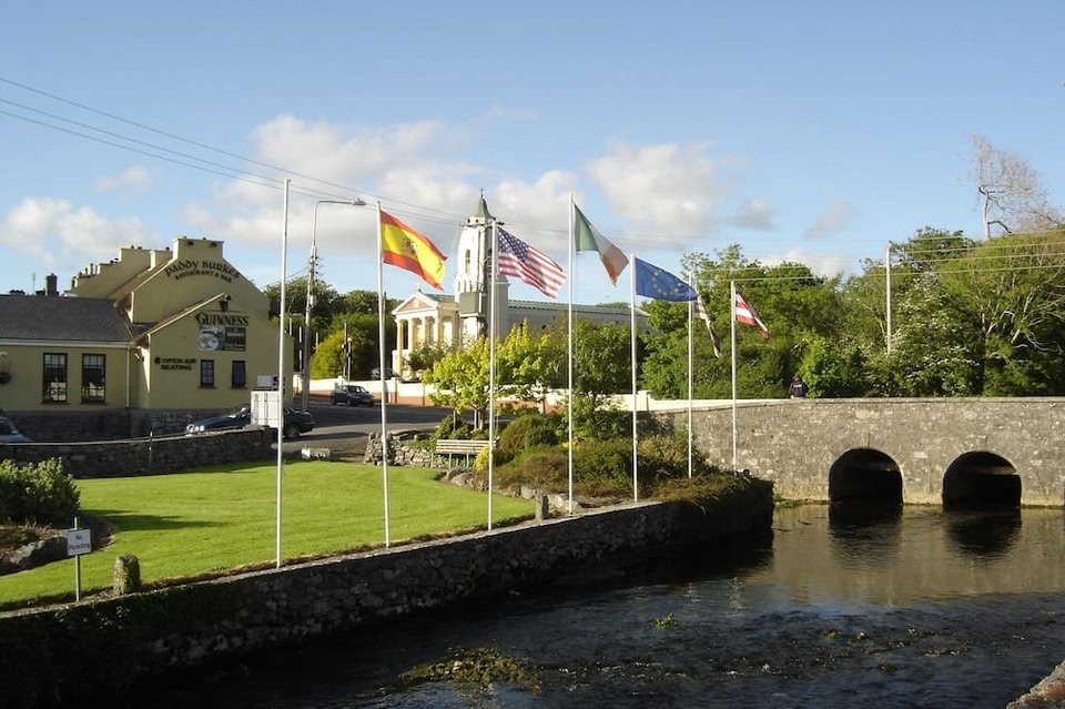 LissruhlinFairy fort / ringfort · 148 yd
 LisroeConcentric enclosure · 429 yd
 IndicatedChurch · 814 yd
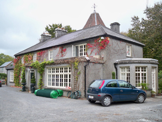 Rockhill Househouse · 1036 yd
 Bawn in Cregganna MoreBawn · 1565 yd
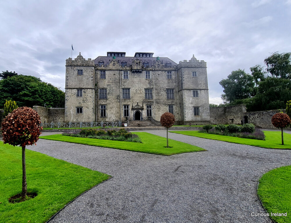 Moneyduff Castle (Site of)Castle, unclassified · 1571 yd
 Loughaun WoodWood · 1.9 mi
 North WoodWood · 2.4 mi
 Leadmine HillMountain / peak · 3.1 mi
 Drumacoo Monastic SiteHeritage attraction · 3.7 mi
 MweenisharanIslet · 3.9 mi
 Mweenish PointHeadland · 4.2 mi
Other information
Photo: Credit not shown in the picture search · Rights wording not checked; contact us if this picture should be removed