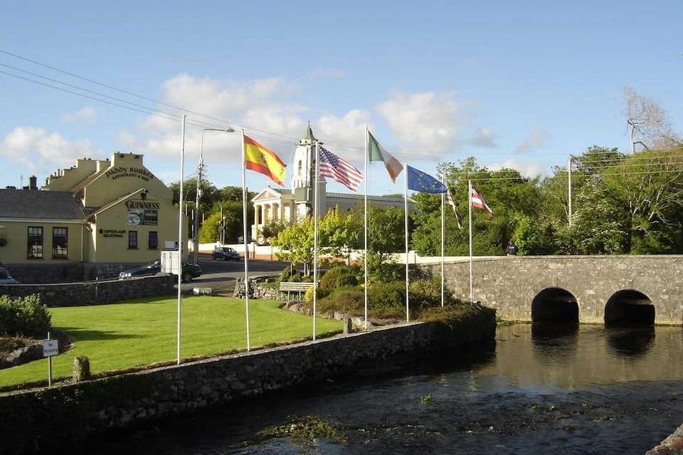
What is recorded here
On a gentle SW-facing slope in undulating pastureland. Poorly preserved circular rath (diam.
43.7m) defined by two banks and an intervening fosse. The inner bank and fosse are best preserved from SW to NW; elsewhere the bank has been levelled and pushed into the fosse, however, its line is indicated by a low scarp. The outer bank survives at S and from SW to NW. No visible surface trace survives of the stone-facing noted by McCaffrey (1952, 139-40, no. 35). (Athy 1914, 134)
Compiled by: Galway Archaeological Survey, UCG
Date of upload: 14 December 2017
The monument record does not grant public access. Check the route and ask the landowner before entering private land.
- What survives
- Recorded monument
Places near here
 TobersruhlinHoly well · 148 yd
 LisroeConcentric enclosure · 480 yd
 IndicatedChurch · 697 yd
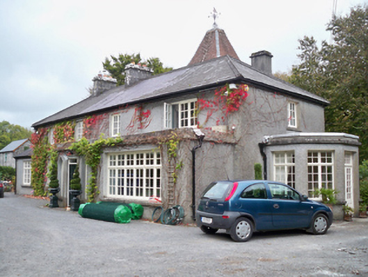 Rockhill Househouse · 1160 yd
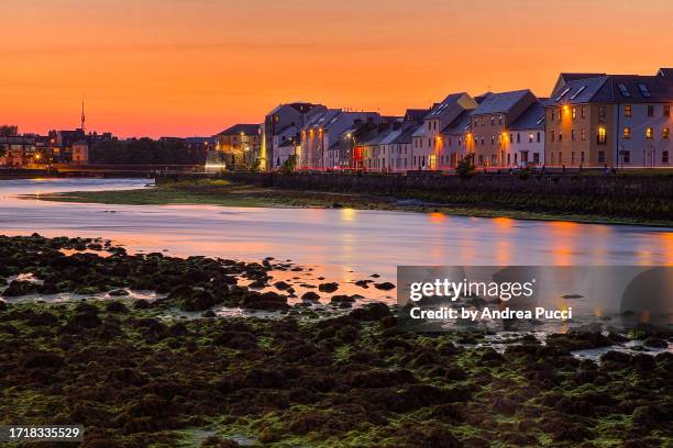 Bawn in Cregganna MoreBawn · 1418 yd
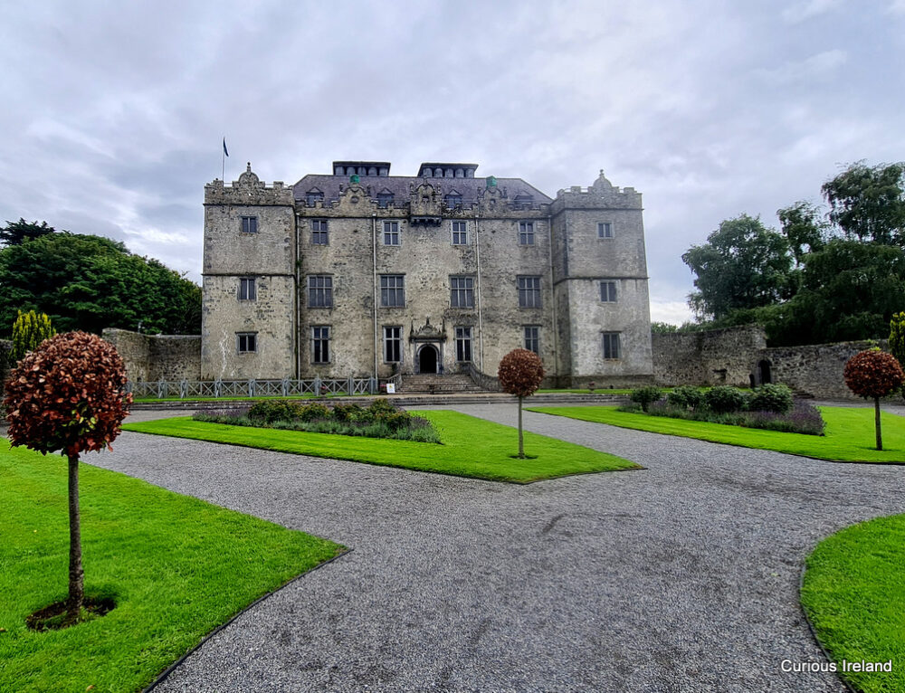 Moneyduff Castle (Site of)Castle, unclassified · 1635 yd
 Loughaun WoodWood · 1.9 mi
 South WoodWood · 2.4 mi
 Leadmine HillMountain / peak · 3.1 mi
 Drumacoo Monastic SiteHeritage attraction · 3.6 mi
 MweenisharanIslet · 3.8 mi
 Mweenish PointHeadland · 4.2 mi
Other information
Photo: Credit not shown in the picture search · Rights wording not checked; contact us if this picture should be removed