
What is recorded here
Marked on the 1839 and 1925 eds of the OS 6-inch map and described as Toberpatrick in gothic lettering on both. It is situated on a slight SE-facing slope with a N-S stream c. 60m to the E. The well may have been approached between two substantial banks from Rathmore (WX030-045----) c. 60m to the W at one time as the 1925 map shows the N bank of the enclosure extending towards the well, but this part of the bank has now been removed. The field bank (Wth c. 5m; H c. 1m) and hedge on the S side still survive. John O’Donovan writing c. 1840 mentions the well but says that the pattern was lapsed (O’Flanagan 1933, vol. 2, 50). The well is in a wet, overgrown area and could not be identified.
Compiled by: Michael Moore
Date of upload: 16 August, 2012
Toberpatrick is traditionally associated with Saint Patrick, and like many wells named after him, it was historically linked to Christian pilgrimage and healing practices. Local folklore may connect the site to early Christian activity in the region, though specific cures or rituals are not well documented.
The monument record does not grant public access. Check the route and ask the landowner before entering private land.
- What survives
- Recorded monument
Places near here
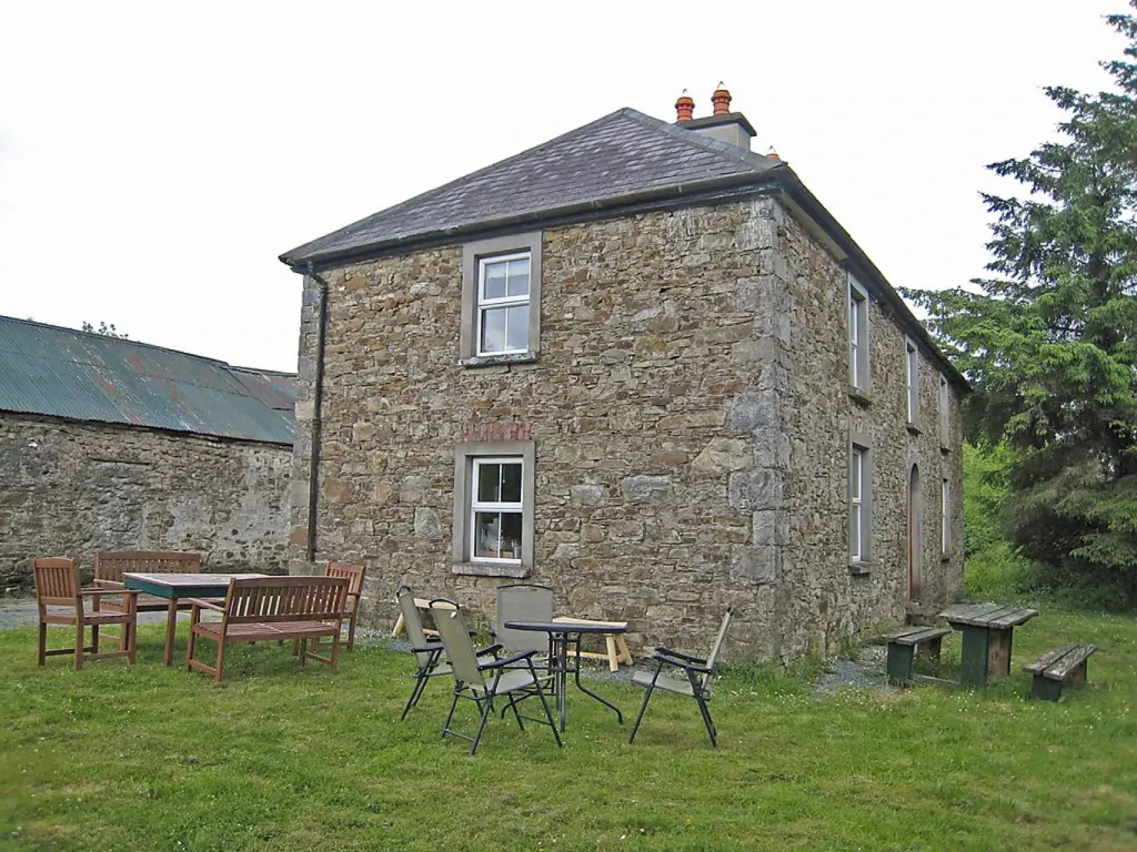 RathmoreEnclosure · 126 yd
 Castle (in ruins)Castle, tower house · 1075 yd
 IndicatedFairy fort / earthen ringfort · 1406 yd
 Carrickmastia HillMountain / peak · 1496 yd
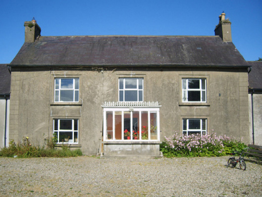 Adamstown Housefarm house · 1573 yd
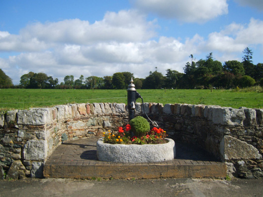 water pumpwater pump · 1692 yd
 Glenour MonumentMemorial · 1.1 mi
 Camaross HillMountain / peak · 2.2 mi
 (Site of) Doonoonen CastleCastle, motte · 2.3 mi
 1798 RebellionMemorial · 6.4 mi
 Coolcliffe HouseRuins · 7.4 mi
 High HillForest · 18 mi
Other information
Photo: Credit not shown in the picture search · Rights wording not checked; contact us if this picture should be removed