
What is recorded here
Doonooney Castle stood as a flat-topped motte on a gentle western slope in County Wexford, held by Adam de la Roche with half a knight's fee from the Bigod lands in 1307. The earthwork rose four metres above the ground and cast a long shadow across the valley before disappearing entirely during the 1950s or 1960s. Only a faint grassy bump and a shallow ditch remain near the church site, hiding the violent history of a fortress that once commanded the local landscape.
Doonooney (Dunoun) together with Ballyvaldon in Ballaghakeen barony were held with half a knight’s fee by Adam de la Roche from the Bigod lands in 1307, and probably earlier (Brooks 1950, 51-2). The earthwork is situated on a gentle W-facing slope and is described by John O'Donovan writing c. 1840 as a flat topped moat (dims. top c. 15m N-S; c. 11m E-W; diam. of base c. 34m; H c. 4m) (O'Flanagan 1933, vol. 1, 346). It was removed in the 1950s or 1960s. It is now a slightly raised subcircular grass-covered area (dims. c. 60m E-W; c. 50m N-S; H 0.6m). On the N side of a WNW-ESE field bank traces of a fosse (Wth 9m; D c. 0.5m) are visible (int. C 46m). It is adjacent to the church site (WX031-029001-) which is c. 100m to the SE.
The above description is derived from the published 'Archaeological Inventory of County Wexford' (Dublin: Stationery Office, 1996). In certain instances the entries have been revised and updated in the light of recent research.
Compiled by: Michael Moore
Date of upload/revision: 27 August, 2012
Doonoonen Castle (Doonooney) was held by Adam de la Roche in 1307 from the Bigod lands, likely as part of a knight’s fee. It is remembered for its association with Anglo-Norman landholding in the region during the early 14th century.
The monument record does not grant public access. Check the route and ask the landowner before entering private land.
- What survives
- Recorded monument
Places near here
 Church (in ruins)Church · 167 yd
 IndicatedFairy fort / earthen ringfort · 1072 yd
 farm housefarm house · 1695 yd
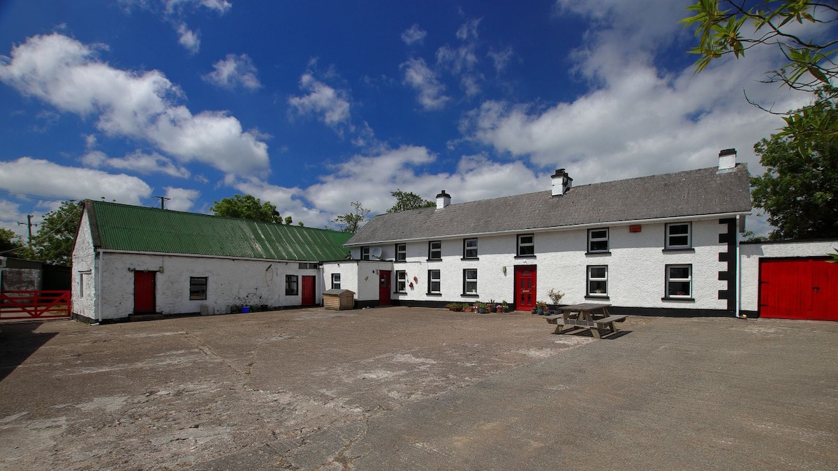 Embanked enclosureFairy fort / earthen ringfort · 1.0 mi
 Camaross HillMountain / peak · 1.3 mi
 Castle (in ruins)Castle, tower house · 1.7 mi
 Glenour MonumentMemorial · 1.7 mi
 Raheennahoon HillMountain / peak · 1.7 mi
 (Site of) CastleCastle, unclassified · 2.6 mi
 Dick Joynt MemorialMemorial · 4.2 mi
 King's IslandIsland · 5.5 mi
 Coolcliffe HouseRuins · 7.3 mi
Other information
Photo: Credit not shown in the picture search · Rights wording not checked; contact us if this picture should be removed