What is recorded here
Marked on all OS eds. Small circular well (int. diam. 0.9m) on the N shore of Lakefield Lough. Used as a place of pilgrimage up until the 1890s (local information).
From the National Monuments Service (Archaeological Survey of Ireland) record CV009-017
The monument record does not grant public access. Check the route and ask the landowner before entering private land.
- What survives
- Recorded monument
Places near here
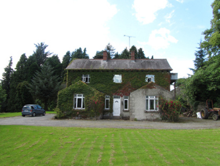 Brackley HouseHouse · 249 ydBaron's IslandIslet · 565 yd
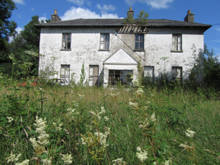 Bawnboy HouseCountry house · 1.6 mi
 Slieve RushenMountain / peak · 2.5 mi
 Rowan2.8 mi
 Hawthorn2.9 mi
 Tullydermot FallsWaterfall · 3.6 mi
 Monydoo or TonycromMountain / peak · 4.3 mi
 Killycluggin StoneVisitor information · 4.3 mi
.jpg/250px-Doon_(0).jpg "Photo: Wanfried-Dublin, Wikimedia Commons · CC0") Court tomb in Doon (ballyconnell Ed)Court tomb · 5.0 mi
Court tomb in Doon (ballyconnell Ed)Court tomb · 5.0 mi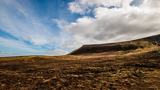 CuilcaghMountain / peak · 6.1 mi
 Cuilcagh WayWalking route · 6.2 mi
Pictures: National Inventory of Architectural Heritage; Jonathan Billinger, Wikimedia Commons · CC BY-SA 2.0; Eeno11, Wikimedia Commons · CC BY-SA 3.0; Didier Descouens, Wikimedia Commons · CC BY-SA 4.0; Kenneth Allen, Geograph · CC BY-SA 2.0; Wanfried-Dublin, Wikimedia Commons · CC0; Carl Meehan, Wikimedia Commons · CC BY 2.0; Colin Park, Geograph · CC BY-SA 2.0
More archaeology and monuments in County Cavan · All of County Cavan
What do you know about this place?