What is recorded here
Tobernasool is a vanished holy well on a steep Cork slope, remembered only through a map name and absent surface trace. It may have given clear water to herders, fed a local ritual, or disappeared under grass and time. The loss is not empty because the name still points to a exact place where people believed the earth could give back life.
In pasture, on steep E-facing slope. 'Tobernasog' on 1st ed. O.S. map. No visible surface trace.
The above description is derived from the published 'Archaeological Inventory of County Cork. Volume 1: West Cork' (Dublin: Stationery Office, 1992). In certain instances the entries have been revised and updated in the light of recent research.
Date of upload/revision: 14 January 2009
Image provided by and copyright of Amanda Clarke 2016-2022 https://holywellscorkandkerry.com/
Linked to Saint Sool, the well is traditionally associated with cures for skin ailments and was once visited by the faithful who collected water for healing purposes. The site's name and function reflect a common pattern in early Irish Christian pilgrimage traditions.
The monument record does not grant public access. Check the route and ask the landowner before entering private land.
- What survives
- Recorded monument
Places near here
 Graveyard (Disused)Burial ground · 1413 yd
 Moated site in Ballymore (carbery E. (e.d.) By.)Moated site · 1510 yd
 Tullylandfarm house · 1735 yd
 Cloghane Househouse · 1.5 mi
 Crois Na Leanbh MemorialMemorial · 1.8 mi
 Carbury's WellSpring · 2.3 mi
 Marie LouiseWreck · 2.4 mi
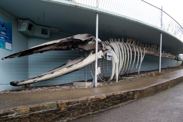 Kilbrittain WhaleHeritage attraction · 2.7 mi
 Carrighnassig Castle (Site of)Castle, unclassified · 2.7 mi
 Quay WoodWood · 2.9 mi
 Shippool WoodWood · 3.0 mi
 Bandon War MemorialMemorial · 3.1 mi