What is recorded here
Marked on the 1837 ed. of the OS 6-inch map where it is described as Tobernasool - the well of the eyes? - and situated on a low-lying landscape. It is not visible at ground level in pasture. Its location is not certain, but church (RO020-001001-) is c. 70-100m to the NE and the name suggests that it may have had a cure for eye complaints.
Compiled by: Michael Moore
Date of upload: 24 August 2010
Linked to Saint Rođan (or Kilroddan), the well is traditionally associated with cures for eye ailments. Local folklore suggests that water from Tobernasool was sought for its healing properties, particularly for sight-related afflictions, though its exact location and continued use remain uncertain.
The monument record does not grant public access. Check the route and ask the landowner before entering private land.
- What survives
- Recorded monument
Places near here
 Church in Glebe WestChurch · 115 yd
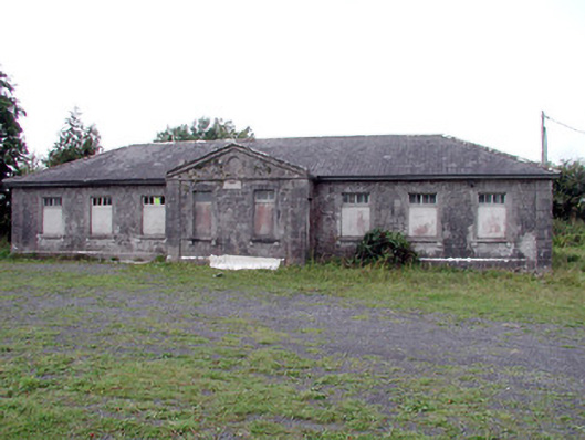 Loughglinn Schoolschool · 1.6 mi
 TowerCastle, tower house · 1.7 mi
 St Bridgets WellHoly well · 1.9 mi
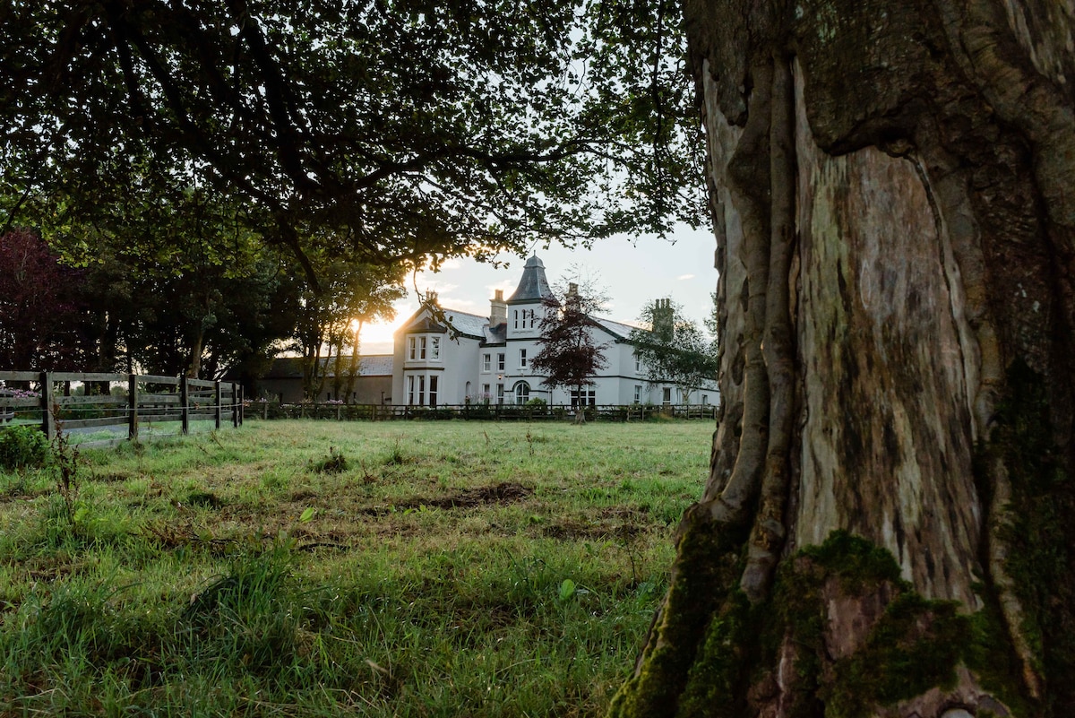 Embanked enclosureFairy fort / earthen ringfort · 2.2 mi
 Druminagh WoodForest · 3.6 mi
 Crunaun Castle (in ruins)Castle, unclassified · 4.2 mi
 Clonalis HouseMuseum · 4.5 mi
 Coolougher WoodForest · 5.0 mi
 Fairymount HillMountain / peak · 5.1 mi
 Bawn IslandIslet · 9.3 mi
 Rose PointHeadland · 11 mi