What is recorded here
Shown on 1907 OS 6-inch map as a well near a small circular mound (No.***). No visible trace of either feature. The name means 'the well of the fort'. No visible surface traces.
Date of upload: 8 September 2016
This remains an important historical record, but the official description says the monument is no longer visible or has been destroyed. The monument record does not grant public access. Check the route and ask the landowner before entering private land.
- What survives
- No visible remains or recorded as destroyed
Places near here
 Cross (present location) in UnknownCross (present location) · 1226 yd
 OutlinedCastle, unclassified · 1345 yd
 Enclosure in BallyvannanEnclosure · 1409 yd
 CastleCastle, unclassified · 1.7 mi
 Duckett's GroveHeritage attraction · 1.7 mi
 Cork oakCork oak · 1.7 mi
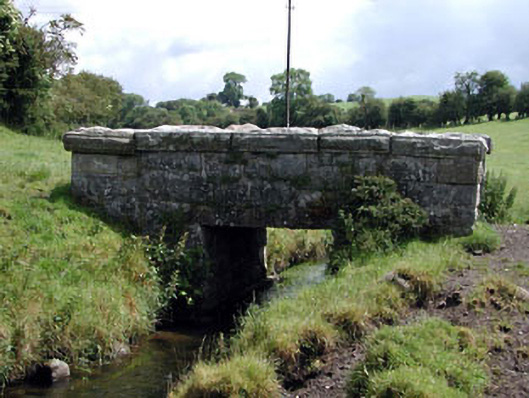 foot bridgefoot bridge · 1.8 mi
 European YewEuropean Yew · 1.8 mi
 Nunnery (in Ruins)Religious house, Augustinian, of Arrouaise nuns · 1.9 mi
 Church (in ruins), Cross, GraveyardChurch · 2.0 mi
 Franciscan FriaryHeritage attraction · 2.1 mi
 ProclamationMemorial · 2.3 mi