
What is recorded here
Named 'Tobernamulla' on the 1838 OS 6-inch map. There are no visible remains of this well. According to Wood-Martin (1892, 355-6, n. 1), it was 'formerly held in estimation as "holy"'. 'Toberacoll' holy well (SL040-134----) is c. 200m to SE, 'Tobernacarta' (SL040-075----) c. 750m to NW and 'Kingstown Well' (SL040-138----) c. 420m to SE. A stretch of the road known as Bothar an Corann (SL033-145----) is c. 50m to the SW.
The above description is derived from the published 'Archaeological Inventory of County Sligo' compiled by Ursula Egan, Elizabeth Byrne, Mary Sleeman with Sheila Ronan and Connie Murphy (Dublin Stationery Office, 2005).
Date of upload: 18 January 2008
Tobernamulla, also known as Toomour, was a holy well formerly venerated for its spiritual or healing significance, as noted by Wood-Martin in 1892. The name suggests a possible dedication to Mary ("Mulla" being a variant of "Mhuire"), indicating a tradition of Marian pilgrimage or devotion in the area.
This remains an important historical record, but the official description says the monument is no longer visible or has been destroyed. The monument record does not grant public access. Check the route and ask the landowner before entering private land.
- What survives
- No visible remains or recorded as destroyed
Places near here
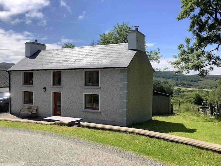 ToberacollHoly well · 243 yd
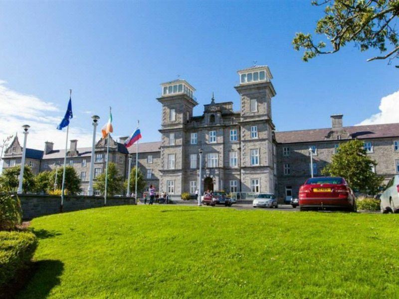 Kingstown WellHoly well · 450 yd
 Toomour Church (in Ruins)Church · 528 yd
 St. Kevins ChurchRuins · 531 yd
 Caves of KeshCave · 1.3 mi
 Kesh CorannMountain / peak · 1.3 mi
 School CaveCave · 1.7 mi
 Treanscrabbagh caveCave · 1.7 mi
 Bricklieve MountainsMountain / peak · 2.3 mi
 Bricklieve Castle (in Ruins)Castle, unclassified · 2.4 mi
 Castle BaldwinCastle · 3.4 mi
 Annaghgowla IslandIslet · 4.2 mi
Other information
Photo: Credit not shown in the picture search · Rights wording not checked; contact us if this picture should be removed