
What is recorded here
Marked on the 1839 and 1925 Eds of the OS 6-inch map and described as Tobermunna on both. It is located on SE-facing slope c. 350m N of the site of St. Munna’s original church (WX041-008003-). Access is by a narrow walled path (L c. 60m) from the street to the W. The well is a rectangular sunken area (dims 1.4m E-W; 1.2m N-S) with a plastered brick canopy (int. H 0.97m) over it. ‘AMGD’ is inscribed over the well opening at S and on the W side is inscribed ‘1896 Tobermunn’. The well was dry in 1988 and there is no evidence of, or record of, veneration.
St. Munna may have been from Wesmeath – Longford, and through his mother, Feidhealm, connected to Niall Naoighiallach (of the nine hostages) and the royal families of Ireland. His Saint’s Life may have been written as early as the 8th century, and thus be relatively uncorrupted. He studied at Kilmore, Co. Cavan, and Devinish, Co. Fermanagh, and has been connected with Colum Cille of Iona. His first churches were in the midlands, but in later life he settled in Taghmon where he is said to have died in 635 (Culleton 1999, 108-85; Ó Riain 2011, 505-07).
Compiled by: Michael Moore
Date of upload: 20 March, 2013
Amended: 15 January, 2014
Tobermunna is associated with St. Munna, an early Irish saint linked to several sites in the region, and is traditionally believed to have healing properties, particularly for eye ailments. The well's long-standing presence on Ordnance Survey maps suggests its continued reverence through the 19th and early 20th centuries.
The monument record does not grant public access. Check the route and ask the landowner before entering private land.
- What survives
- Recorded monument
Places near here
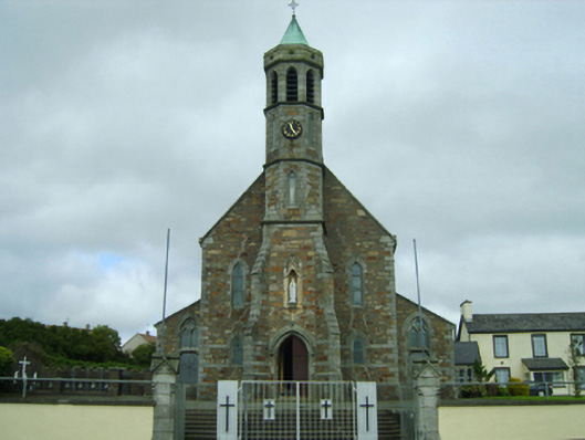 Saint Fintan's Catholic Churchchurch/chapel · 111 yd
 Field boundary in CloghulataghField boundary · 153 yd
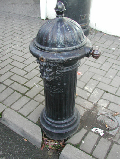 water pumpwater pump · 185 yd
 Taghmon CastleCastle · 230 yd
 CrossCross, High cross · 255 yd
 Bawn in SiginshaggardBawn · 1.4 mi
 Carrickatinna RockMountain / peak · 3.5 mi
 Raven RockMountain / peak · 3.5 mi
 Coolcliffe HouseRuins · 4.0 mi
 Battle Of The Three RocksMemorial · 4.2 mi
 Battle of Three Rocksbattle · 4.6 mi
 Celebrating 125 YearsMemorial · 4.8 mi
Other information
Photo: Credit not shown in the picture search · Rights wording not checked; contact us if this picture should be removed