
What is recorded here
In flat pastureland. Known locally as ‘St Coleman’s Well’. On inspection this holy well was defined by a natural spring, roughly P-shaped in plan and enclosed by a drystone-built wall (2.2m N-S; 0.3-1.4m E-W; H 1.5m). The spring fed a domestic well immediately to the N. A slab across the N end of the spring well, c. 0.4m above the water level, formed a division between it and the domestic well. According to local information, St Colman stopped to pray, after burying the ‘King’, at a large flagstone in the field to the SW. The flagstone is said to bear the imprints of his knees.
Galway Archaeological Survey, UCG
Date of upload: 9 May 2023
Linked to St Coleman, a 7th-century Irish saint associated with the monastery at Rahan, County Offaly. The well is traditionally visited for cures related to eye ailments and general healing, with customs including the pouring of water in a clockwise direction around the spring.
The monument record does not grant public access. Check the route and ask the landowner before entering private land.
- What survives
- Recorded monument
Places near here
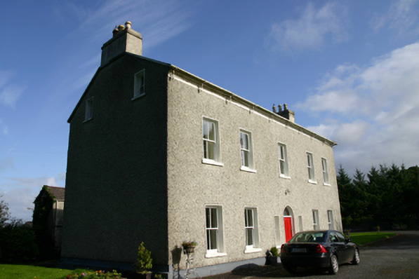 Cloon Housecountry house · 1021 yd
 Saint Columba's Catholic Churchchurch/chapel · 1142 yd
 Enclosure in CarraghEnclosure · 1323 yd
 Bawn in BallyconnellBawn · 1.1 mi
 Cross in CarraghCross · 1.1 mi
 CastleCastle, unclassified · 1.2 mi
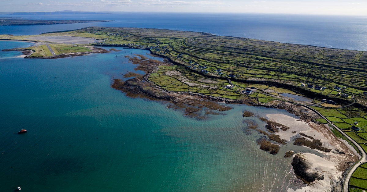 Beagh IslandWood · 1.9 mi
 Rick's IslandWood · 2.1 mi
 Holly IslandIslet · 2.4 mi
 Castle IslandIsland · 2.4 mi
 Kilmacduagh Monastic SiteVisitor information · 4.7 mi
 Kilmacduagh MonasteryHeritage attraction · 4.7 mi
Other information
Photo: Credit not shown in the picture search · Rights wording not checked; contact us if this picture should be removed