
What is recorded here
In undulating pastureland, c. 100m NE of a burial ground (GA116-035----). On inspection this well consisted of a large circular concrete pipe in the ground, around which there was a loose setting of stones. The well fed a small stream flowing to the NE and was being used for watering cattle. Apart from being named ‘Tobermacduagh’ in Gothic script on the 1838 and 1920 editions of the OS 6-inch map, there was no evidence to indicate that it was regarded as a holy well. Current aerial imagery (OSi Digitalglobe 2011-2013) indicates that this area was subsequently developed as a Golf Club.
Compiled by: Galway Archaeological Survey, UCG
Date of upload: 18 January 2023
Tobermacduagh is traditionally associated with Saint Mac Duach, a 7th-century Irish monk and hermit, and is believed to have been a site of pilgrimage and healing. The well's name, meaning "well of Mac Duach," reflects its historical and religious significance in early Christian Ireland.
The monument record does not grant public access. Check the route and ask the landowner before entering private land.
- What survives
- Recorded monument
Places near here
 Enclosure in Curragh (leitrim By.)Enclosure · 255 yd
 LisnagolaFairy fort / earthen ringfort · 1.2 mi
 bridgebridge · 1.4 mi
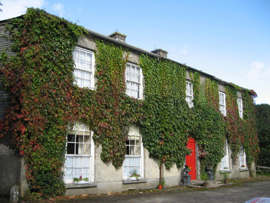 Eagle Hillcountry house · 1.5 mi
 Site of CastleCastle, unclassified · 1.7 mi
 Site of Castle de BurghCastle, unclassified · 2.3 mi
 Oak WoodForest · 3.0 mi
 Quarryhill WoodWood · 3.1 mi
 Friar's IslandIslet · 6.4 mi
 Abbey IslandIslet · 6.5 mi
 Stonyisland BayBay · 6.5 mi
 TullymoreMountain / peak · 7.0 mi
Other information
Photo: Credit not shown in the picture search · Rights wording not checked; contact us if this picture should be removed