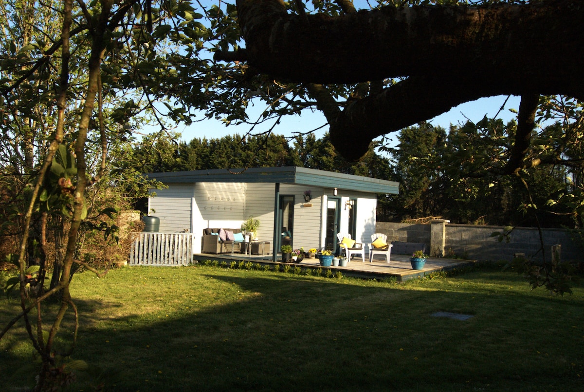
What is recorded here
On a ridge in undulating pastureland. Marked on the 1838 edition of the OS 6-inch map as a subcircular enclosure (c. 18m N-S; c. 13m E-W). No visible surface trace survives.
Compiled by: Galway Archaeological Survey, UCG
Date of upload: 24 July 2019
The monument record does not grant public access. Check the route and ask the landowner before entering private land.
- What survives
- Recorded monument
Places near here
 TobermacduaghHoly well · 255 yd
 LisnagolaFairy fort / earthen ringfort · 1.1 mi
 bridgebridge · 1.3 mi
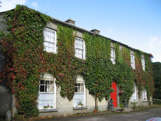 Eagle Hillcountry house · 1.4 mi
 Site of CastleCastle, unclassified · 1.5 mi
 Site of Castle de BurghCastle, unclassified · 2.2 mi
 Oak WoodForest · 2.9 mi
 Quarryhill WoodWood · 3.0 mi
 Friar's IslandIslet · 6.3 mi
 Stonyisland BayBay · 6.4 mi
 Abbey IslandIslet · 6.4 mi
 TullymoreMountain / peak · 7.1 mi
Other information
Photo: Credit not shown in the picture search · Rights wording not checked; contact us if this picture should be removed