
What is recorded here
On a rise in gently rolling pastureland. Very poorly preserved circular rath (diam. 32m) defined by a bank from SSE to SW; elsewhere a vegetation band indicates the line of the monument.
Compiled by: Galway Archaeological Survey, UCG
Date of upload: 6 January 2017
A local fairy fort (ringfort/rath); wider significance not recorded.
The monument record does not grant public access. Check the route and ask the landowner before entering private land.
- What survives
- Recorded monument
Places near here
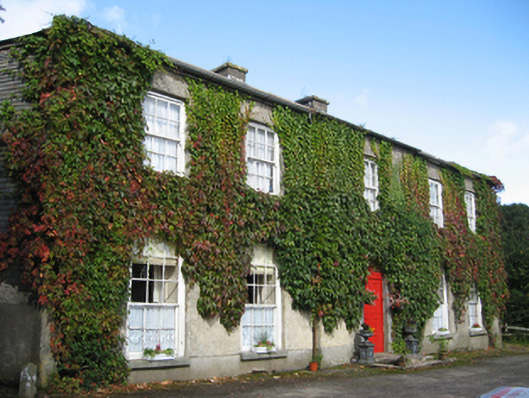 Eagle Hillcountry house · 967 yd
 Enclosure in EaglehillEnclosure · 1193 yd
 Ladys WellHoly well · 1545 yd
 Friary (in ruins)Religious house, Cistercian monks · 1608 yd
 Coolfin Castle (in ruins)Castle, tower house · 1.4 mi
 Site of CastleCastle, unclassified · 1.7 mi
 Oak WoodForest · 2.5 mi
 Bog WoodForest · 2.7 mi
 Friar's IslandIslet · 5.2 mi
 Abbey IslandIslet · 5.3 mi
 Stonyisland BayBay · 5.4 mi
 TullymoreMountain / peak · 6.3 mi
Other information
Photo: Credit not shown in the picture search · Rights wording not checked; contact us if this picture should be removed