Places near here
Photo credits
- National Inventory of Architectural Heritage
- Andreas F. Borchert, Wikimedia Commons · CC BY-SA 4.0
- John M, Geograph · CC BY-SA 2.0
- Michael Deligan, Wikimedia Commons · CC BY-SA 4.0
- Picture: en.wikipedia.org
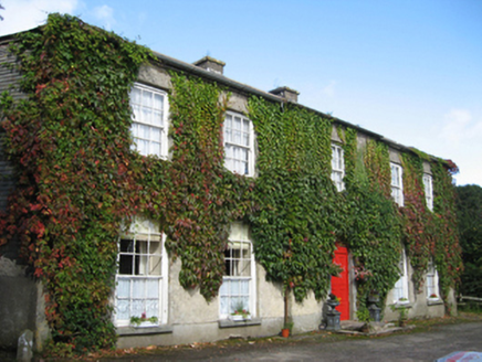 Eagle HillCountry house · 385 yd
Explorer Tom Eagle Hill in Eaglehill has an escape plan involving its blank rear elevation and hidden doors. The first owner tried…
 Friary (in ruins)Religious house, Cistercian monks · 534 yd
Explorer Tom Friary in County Galway had a fiddler who played there all night until the monks gave up and went to sleep. The walls…
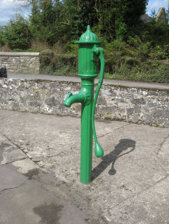 water pump609 yd
Explorer Tom Water pump in Garrynaglogh is a cast-iron beauty with an elegantly curved handle that looks like it was designed by a…
 Catholic Church of Our Lady of the AssumptionChurch/chapel · 634 yd
Explorer Tom Catholic Church of Our Lady of the Assumption in Garrynaglogh probably drank three thousand cups of tea just to get…
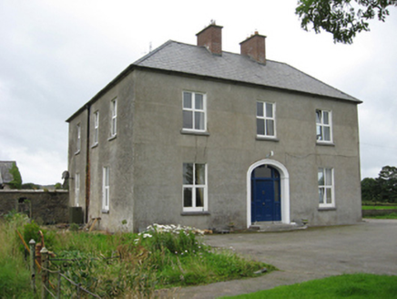 Kylemore HouseHouse · 1.1 mi
Explorer Tom Kylemore House in Leitrim By is polite enough to have paired chimneys but messy enough to be irregular. It would…
 Ballynagar HouseCountry house · 1.7 mi
Explorer Tom Ballynagar House in Ballynagar is all about those fancy curved end bays that make it look like a loaf of bread got an…
 Pallas CastleCastle, tower house · 2.1 mi
Explorer Tom Pallas Castle has a ghost that’s too lazy to haunt it because the stairs are too steep. It’s one of Ireland's largest…
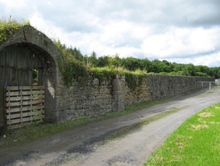 PallasWalled garden · 2.1 mi
Explorer Tom Pallas walled garden used to be part of a massive estate that got demolished after World War II, which is wild. It has…
 Saint Joseph's Catholic ChurchChurch/chapel · 2.6 mi
Explorer Tom Saint Joseph’s Catholic Church in Knockadrum nearly got famous when a famous politician accidentally parked his…
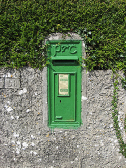 post box2.6 mi
Explorer Tom Post box in Clooneen is judging your handwriting from across the lane. Built for Irish Independence, it's still…
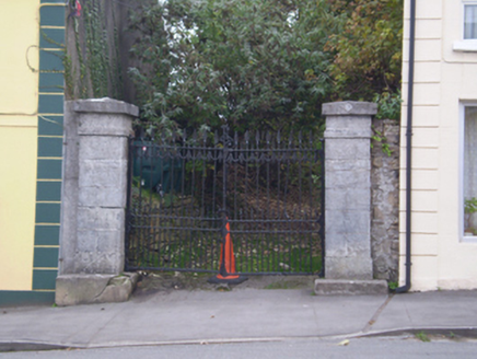 Saint Paul's Church (Ballynakill)Gates/railings/walls · 3.7 mi
Explorer Tom Saint Paul’s Church gates in Ballynakill would describe the 1800s as “harder but with better stone.” The piers are cut…
 Tommy Larkins GAAGAA ground · 3.8 mi
More archaeology and monuments in County Galway · All of County Galway

What do you know about this place?Tap to add a comment or ask a question