
What is recorded here
Castle de Burgh vanished completely from Cloonlee, leaving no wall, stone or ridge behind. It exists only through a small cross drawn on a 1920 map inside a square field beside ordinary farm buildings. The true castle may have been smaller, humbler and more forgettable than legend usually allows.
In flat pasturelend. Named ‘Site of Castle De Burgh’ on the 1838 edition of the OS 6-inch map but not indicated: the label is to the E of a small group of farm buildings. On the 1920 edition, ‘Castle De Burgh (Site of)’ is shown c. 60m to the NW and is indicated in a small almost square field (c. 29m E-W; c. 28m N-S) by the cross symbol ‘for site of’. No visible surface trace survives and no upstanding remains of the castle were remembered locally.
Compiled by: Galway Archaeological Survey, UCG
Date of upload: 29 September 2021
The monument record does not grant public access. Check the route and ask the landowner before entering private land.
- What survives
- Recorded monument
Places near here
 Saint Brendan's Catholic Churchchurch/chapel · 547 yd
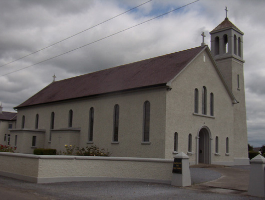 Catholic Church of the Holy Familychurch/chapel · 569 yd
 TobernagrannHoly well · 855 yd
 Enclosure in Grange BegEnclosure · 1.1 mi
 Streamstown Castle (in ruins)Castle, unclassified · 1.4 mi
 Site of CastleCastle, unclassified · 1.7 mi
 Quarryhill WoodWood · 2.3 mi
 Bog WoodForest · 2.7 mi
 Stonyisland BayBay · 7.2 mi
 Friar's IslandIslet · 7.3 mi
 Abbey IslandIslet · 7.4 mi
 Cregg PointHeadland · 8.7 mi
Other information
Photo: Credit not shown in the picture search · Rights wording not checked; contact us if this picture should be removed