What is recorded here
On W side of road; access by path from road. Well, from which stream rises, marked by two rag-covered trees; some coins at base. Visited in the past on 23rd June (St John's Eve); now rarely venerated.
From the National Monuments Service (Archaeological Survey of Ireland) record CO042-081
The monument record does not grant public access. Check the route and ask the landowner before entering private land.
- What survives
- Recorded monument
Places near here
St John's WellSpring · 17 ydBottle HillMountain / peak · 950 ydBricolie's BedMonument · 1169 yd Island Wedge TombArchaeological place · 1.1 mibridge3.0 mibridge3.2 miCastle BarrettCastle · 3.9 miCastle Barrett (in Ruins)Castle, Anglo-Norman masonry castle · 3.9 miGraveyard in KilmonaGraveyard · 4.1 miCorranMountain / peak · 4.7 miKnockarouraForest · 4.8 miPairc Ath Na hEornaMemorial · 4.9 mi
 Island Wedge TombArchaeological place · 1.1 mi
 bridge3.0 mi
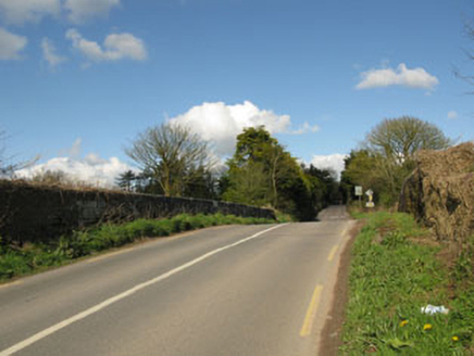 bridge3.2 mi
 Castle BarrettCastle · 3.9 mi
 Castle Barrett (in Ruins)Castle, Anglo-Norman masonry castle · 3.9 miGraveyard in KilmonaGraveyard · 4.1 mi
 CorranMountain / peak · 4.7 miKnockarouraForest · 4.8 miPairc Ath Na hEornaMemorial · 4.9 mi
Pictures: Frederick Dean, Geograph · CC BY-SA 2.0; National Inventory of Architectural Heritage; Jonathan Thacker, Geograph · CC BY-SA 2.0; Mike Searle, Geograph · CC BY-SA 2.0; Hywel Williams, Geograph · CC BY-SA 2.0
More archaeology and monuments in County Cork · All of County Cork
What do you know about this place?