What is recorded here
Situated in a small NE-SW valley, at the source of a small stream and on the boundary between Barndonagh townland to the NW and Derrylavan to the SE. It is marked only on the 1907 edition of the OS 6-inch map where it is described in gothic lettering as ‘Tobergisthara’.
Date of revised upload: 31 July 2017
The monument record does not grant public access. Check the route and ask the landowner before entering private land.
- What survives
- Recorded monument
Places near here
 IndicatedFairy fort / ringfort · 372 yd
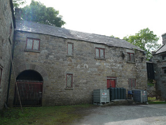 Derrylavan Millmill (water) · 609 yd
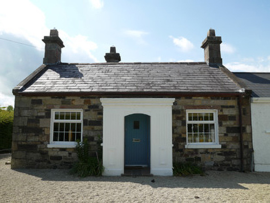 worker's houseworker's house · 675 yd
 European BeechEuropean Beech · 1651 yd
 Horse-chestnutHorse-chestnut · 1.0 mi
 frotFairy fort / earthen ringfort · 1.0 mi
 Drumerlough MoreMountain / peak · 2.9 mi
 Mannan Castle (in ruins)Castle, Anglo-Norman masonry castle · 3.3 mi
 TobernagalliaghSpring · 3.4 mi
 RaferaghMountain / peak · 4.0 mi
 Castle ruinsCastle, unclassified · 4.2 mi
 Giants GraveArchaeological place · 4.6 mi