
What is recorded here
From the National Monuments Service (Archaeological Survey of Ireland) record WX035-026
Places near here
Photo credits
- National Inventory of Architectural Heritage
- Maker not stated on source page, tr.pinterest.com
- Richard Webb, Geograph · CC BY-SA 2.0
- Maker not stated on source page, ca.pinterest.com
- Maker not stated on source page, za.pinterest.com
- liam murphy, Geograph · Creative Commons Attribution-ShareAlike 2.0
- Maker not stated on source page, www.tuatha.ie
- Maker not stated on source page, au.pinterest.com
- Maker not stated on source page, www.airbnb.ca
 farm house1155 yd
Explorer Tom Farm house in Scullaboge replaced its burnt neighbour and acts like nothing happened, which is a bold move for a…
 Stone circle in Ballynagrallagh,courthoyle Old,raheevarren,scullabogeStone circle · 1315 yd
Explorer Tom Stone circle in Ballynagrallagh has seven uprights that look like they’re waiting for a group photo that never happens.…
 Carrickbyrne Garda Síochána StationGarda station/constabulary barracks · 1400 yd
Explorer Tom Kilmore Quay Garda Síochána Station was designed by the Office of Public Works in 1939, so it’s basically a…
 Carrickbyrne HillMountain / peak · 1541 yd
Explorer Tom Carrickbyrne Hill would be the uncle at a wedding who eats too much and falls asleep before the cake. It’s got that…
 Castle (In Ruins)Ruins · 1700 yd
Explorer Tom This Castle (In Ruins) has made its New Year's resolution: to stop falling down and start growing back, though the moss…
 kiln1.1 mi
Explorer Tom The kiln in Carrigadaggan has a local superstition that swearing at it makes your crops grow faster. This…
 Newbawn Church CemeteryCemetery · 1.2 mi
Explorer Tom Newbawn Church Cemetery had a fox take charge of the whole operation last winter, and I swear it wore a tiny hat while…
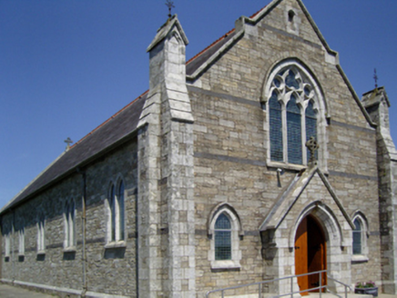 Catholic Church of the Sacred Heat of Jesus and the Immaculate Heart of MaryChurch/chapel · 1.2 mi
Explorer Tom Catholic Church of the Sacred Heart of Jesus and the Immaculate Heart of Mary in Newbawn is a church with a name so…
 Browne-Clayton ColumnMonument · 1.2 mi
Explorer Tom Browne-Clayton Column in Carrigadaggan is a triumphal column commemorating Sir Ralph Abercromby and his victory in…
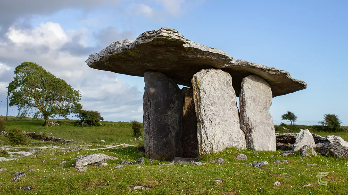 DolmenPortal tomb · 1.3 mi
Explorer Tom Dolmen in Newbawn is collapsed inwards like a tired old dog curling up for a nap, but I reckon a goat once ruled this…
 Clorane CemeteryGraveyard · 1.3 mi
Explorer Tom Clorane Cemetery in County Wexford is home to a ghost who is too lazy to haunt anyone properly and just naps instead.…
 CastleCastle, unclassified · 1.3 mi
Explorer Tom Castle in Ballyshannon was saved by a hero nobody remembers because he forgot to write down his name in the diary. It’s…
More archaeology and monuments in County Wexford · All of County Wexford

What do you know about this place?Tap to add a comment or ask a question