
What is recorded here
Possible holy well depicted as 'Toberfoolagh' on the 1837 ed. OS 6-inch and on the 1910 revised OS 6-inch map as 'Toberfoolagh (Site of)' suggesting that the well was levelled or filled in between these dates. The site of the well was described in 1985 as a 'low grassy knoll with a hollow in the centre' (Bradley et. al. 1985, 94).
Compiled by: Caimin O'Brien
Date of upload: 25 November 2013
Toberfoolagh is traditionally associated with Saint Foilé, a lesser-known early Irish saint, and was likely visited for its supposed healing properties, particularly for ailments of the eyes and skin. The well's disappearance by the early 20th century may reflect changes in land use or a decline in local religious practices.
The monument record does not grant public access. Check the route and ask the landowner before entering private land.
- What survives
- Recorded monument
Places near here
 MoatCastle, motte and bailey · 202 yd
 Christians Castle in ruinsCastle, unclassified · 420 yd
 Wall monument in ForeWall monument · 463 yd
 OutlinedGatehouse · 471 yd
 CrossCross, Wayside cross · 474 yd
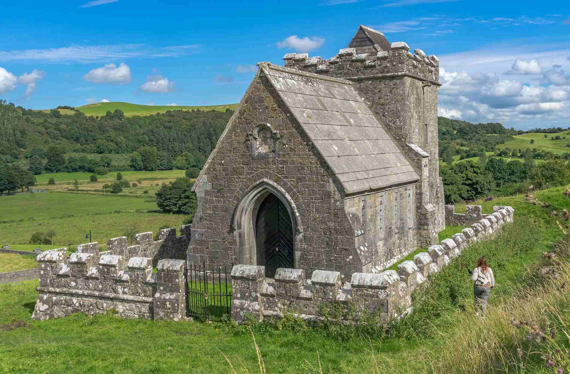 R.C. ChapelChurch · 490 yd
 South East GateHeritage attraction · 549 yd
 St Feichin's MillHeritage attraction · 565 yd
 Ben of ForeMountain / peak · 565 yd
 European ashEuropean ash · 600 yd
 Castle IslandIslet · 1.7 mi
 Seafin HillMountain / peak · 2.2 mi
Other information
Photo: Credit not shown in the picture search · Rights wording not checked; contact us if this picture should be removed