What is recorded here
Marked on the 1839 and 1925 eds of the OS 6-inch map and described as Toberernan on both, in italic lettering on the former and gothic on the latter. It is situated on a slight S-facing slope and in an alcove on the W side of a small N-S road. This is a circular stone-lined well (diam. c. 0.5m), now overgrown and disused. There is no evidence that it was ever venerated.
Compiled by: Michael Moore
Date of upload: 22 July, 2013
The monument record does not grant public access. Check the route and ask the landowner before entering private land.
- What survives
- Recorded monument
Places near here
 Site of St. Leonards ChurchChurch · 356 yd
 Taulaght Ho.Church · 696 yd
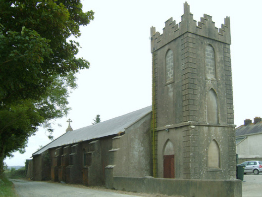 Saint Leonard's Catholic Churchchurch/chapel · 711 yd
 IndicatedFairy fort / earthen ringfort · 1425 yd
 Lockheed Hudson AM885 MemorialMemorial · 1.3 mi
 Bawn in TaylorstownBawn · 1.4 mi
 CastleCastle, tower house · 1.7 mi
 1798Memorial · 1.9 mi
 Carrig-On-BannowVisitor information · 3.3 mi
 Grange BeachBeach / strand · 3.6 mi
 Bridges ChamberCave · 3.6 mi
 Blackhall StrandBeach / strand · 3.7 mi