What is recorded here
On the E side of the road in a breach in a field wall. Named 'Tobercalliagh' on the OS 6-inch maps, this spring well (L 1.6m; Wth 1.09m; D 0.58m) is subject to flooding. A stone slab has been place on top of a wooden beam which spans the breach in the field wall and forms a covering for the well. The well is not associated with a saint and no votive offerings were evident.
Compiled by: Galway Archaeological Survey, UCG
Date of upload: 18 July 2018
The monument record does not grant public access. Check the route and ask the landowner before entering private land.
- What survives
- Recorded monument
Places near here
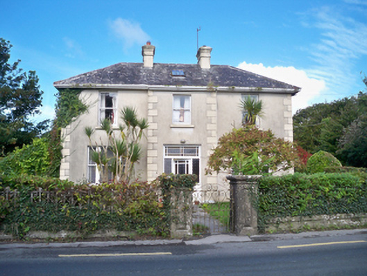 Burke's Rockhouse · 425 yd
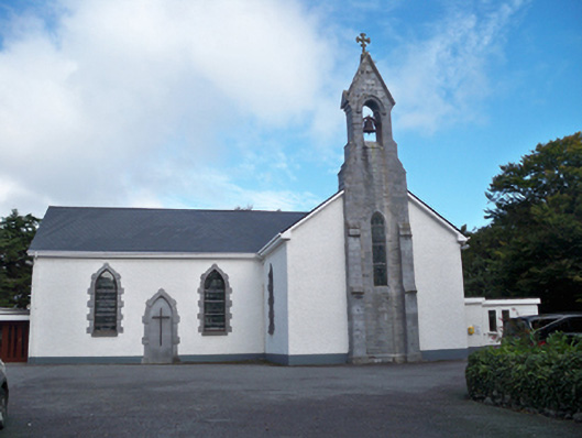 Saint Colman's Catholic Churchchurch/chapel · 514 yd
 Ballinderreen FortFairy fort / earthen ringfort · 966 yd
 Enclosure in Mulroog WestEnclosure · 1082 yd
 Drumacoo Monastic SiteHeritage attraction · 1.2 mi
 MweenisharanIslet · 1.8 mi
 IllananireyIslet · 1.9 mi
 Site of Kilcolgan CastleCastle, tower house · 2.3 mi
 Dungory Castle (in ruins)Castle, tower house · 2.8 mi
 Mweenish PointHeadland · 2.8 mi
 Traught BeachBeach / strand · 3.1 mi
 Kilcornan ForestWood · 3.8 mi