
What is recorded here
In undulating pastureland. Well-preserved rectangular enclosure (46m N-S; 42m E-W) defined by a drystone wall. A modern laneway which borders the monument at N encroaches upon it in NE quadrant. (McCaffrey 1952, 201, no. 122)
Compiled by: Galway Archaeological Survey, UCG
Date of upload: 18 April 2019
A local fairy fort (ringfort/rath); wider significance not recorded.
The monument record does not grant public access. Check the route and ask the landowner before entering private land.
- What survives
- Recorded monument
Places near here
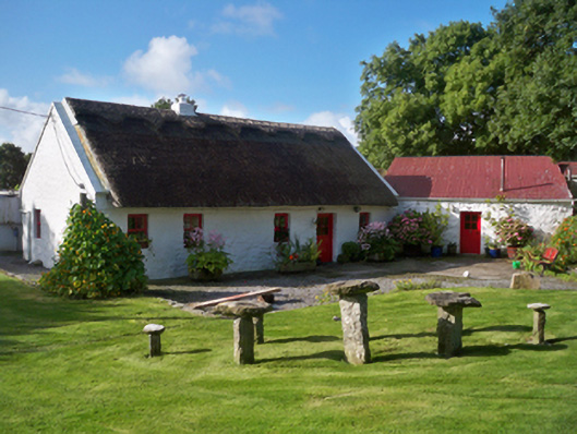 Rose Cottagehouse · 657 yd
 Church in Mulroog WestChurch · 1084 yd
 CrossCross · 1424 yd
 Ballinderreen FortFairy fort / earthen ringfort · 1648 yd
 IllananireyIslet · 1.3 mi
 MweenisharanIslet · 1.7 mi
 Drumacoo Monastic SiteHeritage attraction · 1.7 mi
 CastleCastle, unclassified · 2.2 mi
 Dunguaire CastleCastle · 2.5 mi
 Mweenish PointHeadland · 2.5 mi
 Traught BeachBeach / strand · 2.5 mi
 Plumbtree FortArchaeological place · 4.0 mi
Other information
Photo: Credit not shown in the picture search · Rights wording not checked; contact us if this picture should be removed