
What is recorded here
In pasture, on SE-facing slope, c. 70m SSW of early ecclesiastical enclosure (13885). Two wells indicated side by side on 1842 OS 6-inch map but only one survives. Well and surrounding area overgrown and wet; low earthen bank defines N and E sides (L 1.5m). No longer in holy use. Dedicated, according to Bowman (1934, 617), to St Baoithin where 'Rounds are still paid on Fridays, Saturdays and Sundays throughout the month of May. On 22nd May, however, one visit is all that is required.'
The above description is derived from the published 'Archaeological Inventory of County Cork. Volume 4: North Cork' (Dublin: Stationery Office, 2000). In certain instances the entries have been revised and updated in the light of recent research.
Date of upload/revision: 14 January 2009
Images provided by and copyright of Amanda Clarke 2016-2022 https://holywellscorkandkerry.com/
Linked to Saint Bweeheen, Toberbweeheen was traditionally associated with cures for skin ailments and general well-being. The site's proximity to an early ecclesiastical enclosure suggests a long-standing Christian and possibly pre-Christian ritual significance.
The monument record does not grant public access. Check the route and ask the landowner before entering private land.
- What survives
- Recorded monument
Places near here
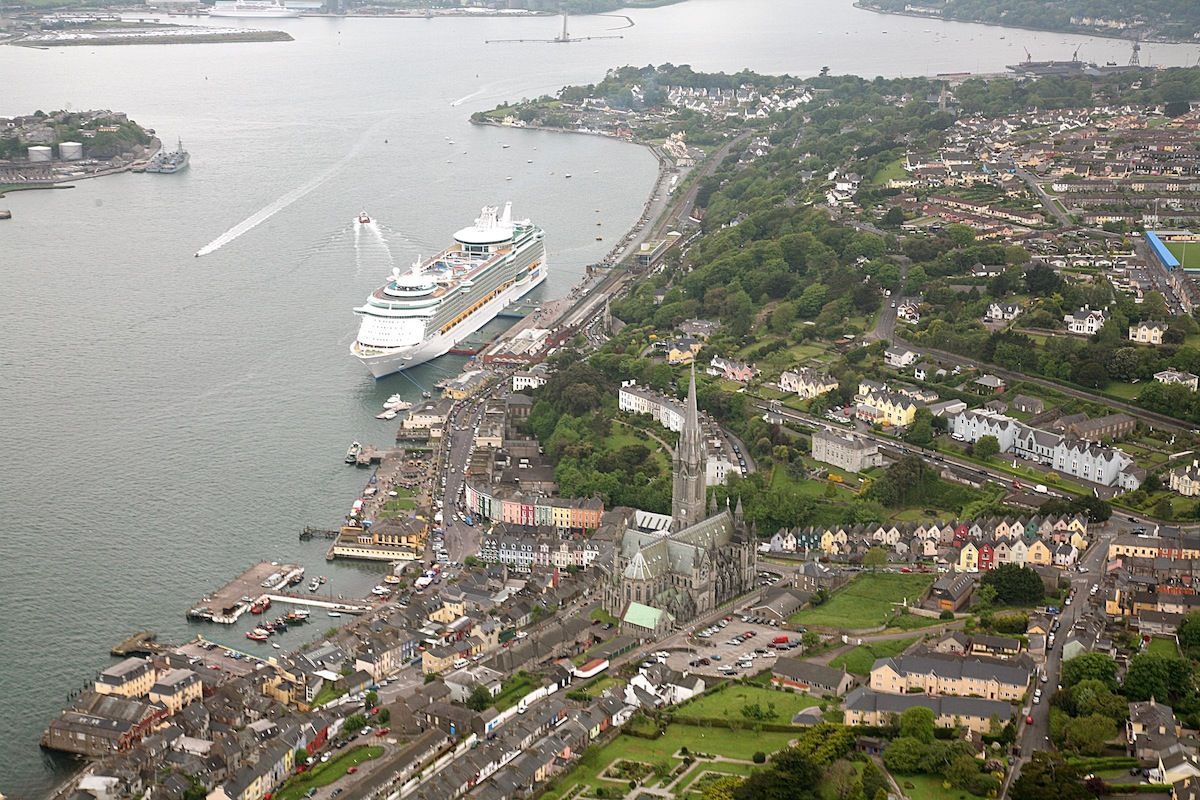 LisnaferneyFairy fort / earthen ringfort · 897 yd
 Fulacht fia in FerryfortFulacht fia · 1061 yd
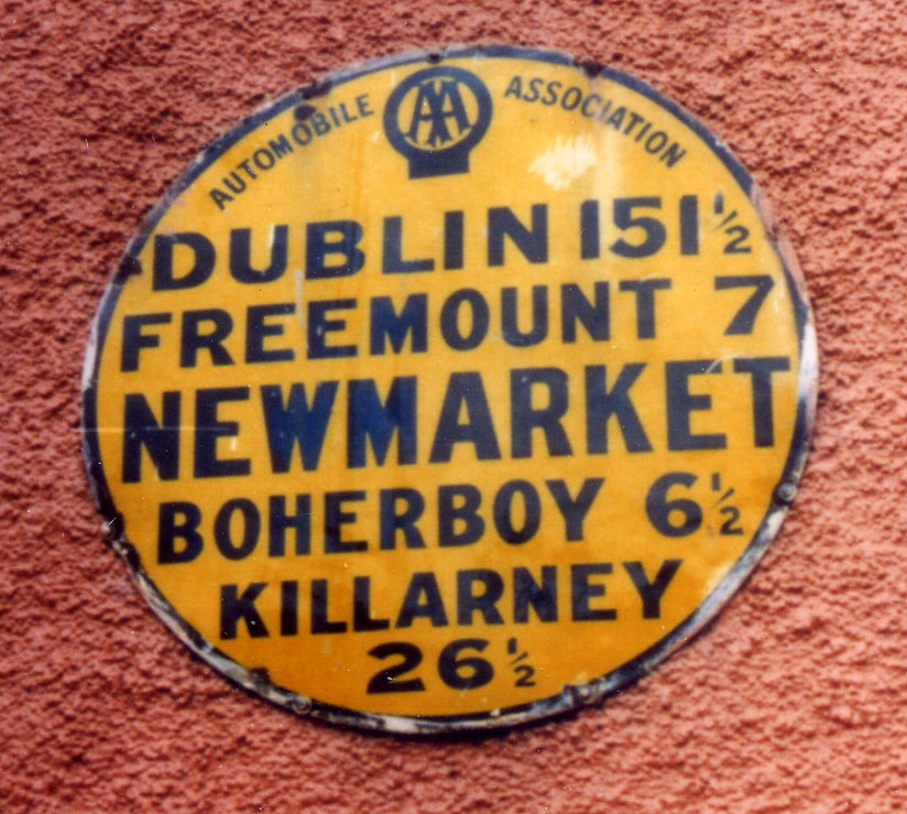 Church in FreemountChurch · 1.7 mi
 Teeveny HouseCountry house · 1.7 mi
 Liscarroll CastleCastle · 1.9 mi
 Battle of LiscarrollMajor battlefield · 1.9 mi
 Castle (Site of)Castle, unclassified · 2.4 mi
 Windmill HillMountain / peak · 4.0 mi
 Churchtown TrailsVisitor information · 4.9 mi
 Lady's WellSpring · 5.0 mi
 National Co-op MuseumMuseum · 5.1 mi
 Stanner's Glen, Priory WoodWood · 6.2 mi
Other information
Photo: Credit not shown in the picture search · Rights wording not checked; contact us if this picture should be removed