
What is recorded here
A holy well located c. 365m NNE of St Bridget's Church, Kilree (KK027-044001-). According to the OS Letters (1839), 'It springs from under a remarkable rock situated to the right of the road as you go from Kells to Kilree. Stations were performed and a Pattern was held at this well not many years since on St. Bridget's Day, the 1st of February' (O'Flanagan 1930, vol. 2, 62 (20)).
From the National Monuments Service (Archaeological Survey of Ireland) record KK027-042
The monument record does not grant public access. Check the route and ask the landowner before entering private land.
- What survives
- Recorded monument
Places near here
 Cloigtheach (Round Tower)Round tower · 399 yd
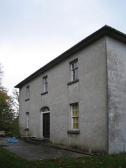 farm house410 yd
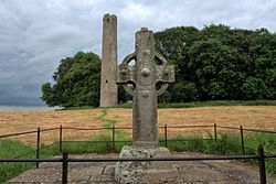 St Bridgets Church (in ruins)Church · 413 yd
 KilreeArchaeological place · 419 yd
 Kells Augustinian PrioryHeritage attraction · 1.1 mi
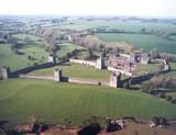 Kells Augustinian PrioryArchaeological place · 1.2 mi
 Water TowerCastle · 1.2 mi
 Prior's TowerCastle · 1.2 mi
 Kells Loop WalkWalking route · 1.3 mi
 Lacken WellSpring · 1.6 mi
.jpg/250px-Pat_Walsh_memorial_in_Dunnamaggin_(58029).jpg "Photo: A.-K. D., Wikimedia Commons · CC BY-SA 4.0") Pat WalshMemorial · 1.8 mi
Pat WalshMemorial · 1.8 mi European ash3.5 mi
Pictures: Andreas F. Borchert, Wikimedia Commons · CC BY-SA 4.0; National Inventory of Architectural Heritage; Harryreid, Wikimedia Commons · CC BY-SA 4.0; Humphrey Bolton, Geograph · CC BY-SA 2.0; Eirian Evans, Geograph · CC BY-SA 2.0; Dave Henderson, Wikimedia Commons · CC BY-SA 2.0; A.-K. D., Wikimedia Commons · CC BY-SA 4.0; Martin Richard Phelan, Wikimedia Commons · CC BY-SA 2.0; Willow, Wikimedia Commons · CC BY 2.5
More archaeology and monuments in County Kilkenny · All of County Kilkenny
What do you know about this place?