What is recorded here
Situated on flat low-lying ground with the NW-SE Douglas stream c. 200m to the SW. It is described as 'Toberavaw' on the 1840 and 1927 eds of the OS 6-ihch map with a laneway leading in from the E that is now gone. The well is a neglected rectangular stone-lined structure (dims. c. 1.1m x 0.7m; D c.0.6m), now dry but with a stone-lined channel leading off to the SW. There is no evidence that it was ever venerated.
Compiled by: Michael Moore. Date of upload: 25th August, 2011.
The monument record does not grant public access. Check the route and ask the landowner before entering private land.
- What survives
- Recorded monument
Places near here
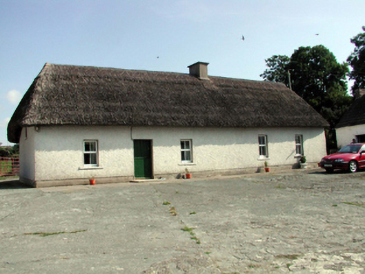 farm housefarm house · 347 yd
 Clonea Church (in ruins)Church · 605 yd
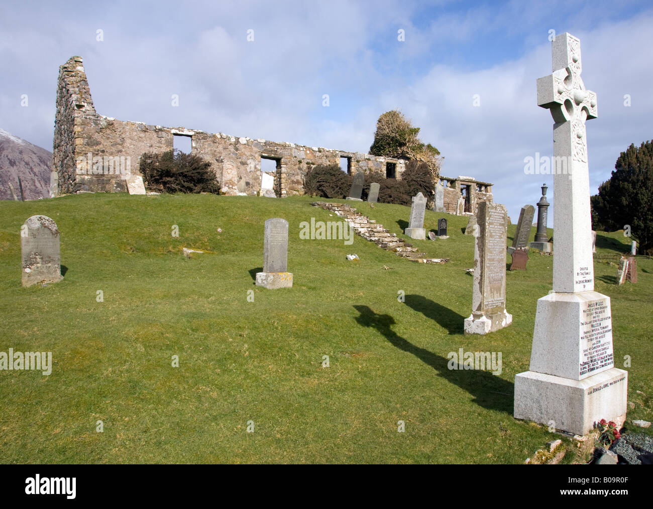 Grave YardGraveyard · 618 yd
 Site of CastleCastle, unclassified · 852 yd
 Embanked enclosureEnclosure · 976 yd
 Cloncoskoran Castle (in ruins)Castle, tower house · 1334 yd
 Clonea StrandBeach / strand · 1.1 mi
 Horse-chestnutHorse-chestnut · 1.8 mi
 Deelish MountainMountain / peak · 2.8 mi
 Cunnigar PointHeadland · 3.1 mi
 Dungarvan CastleCastle · 3.2 mi
 Dungarvan World War I MemorialMemorial · 3.2 mi