What is recorded here
Marked on the 1837 and 1914 eds. of the OS 6-inch map, and situated on a SW-facing slope. Described as a stone hollow (Gannon 1972), there is no record of veneration and it is not now visible at ground level in pasture.
Compiled by: Michael Moore
Date of upload: 24 August 2010
The monument record does not grant public access. Check the route and ask the landowner before entering private land.
- What survives
- Recorded monument
Places near here
 IndicatedFairy fort / earthen ringfort · 892 yd
 Sweat Ho. (Disused)Sweathouse · 1.2 mi
 Smutternagh WoodWood · 1.2 mi
 Ash IslandsIslet · 1.4 mi
 Lahan IslandIslet · 1.6 mi
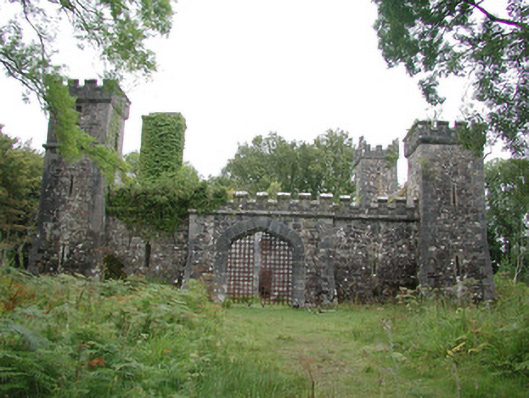 Cloontykilla Castlehunting/fishing lodge · 1.9 mi
 The CopseWood · 1.9 mi
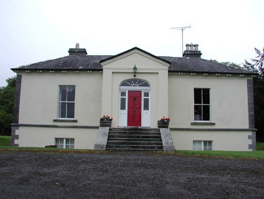 Riversdale Housecountry house · 2.0 mi
 MoatCastle, motte · 3.0 mi
 Longford HillMountain / peak · 3.0 mi
 Erris BayBay · 3.3 mi
 Lough Key Forest ParkWood · 3.3 mi