
What is recorded here
In a hollow with exposed limestone pavement which slopes to S and SE with cliffs overlooking the site (H c. 2-5m) to the E and N. Named ‘Toberadub’ on the 1840 and 1916 OS 6-inch maps. According to the OS letter (1839) ‘Tobbar Duibh in the Townland of Cahirfodda’ was known as ‘the Well of the Black’ for the dark…
Read the whole record
From the National Monuments Service (Archaeological Survey of Ireland) record CL016-041
Places near here
Photo credits
- Maker not stated on source page, en.wikipedia.org
- Maker not stated on source page, www.letsgoireland.com
- Maker not stated on source page, tr.pinterest.com
- Maker not stated on source page, www.flickr.com
- Martin Kerans, Geograph · CC BY-SA 2.0
- Joseph Mischyshyn, Wikimedia Commons · CC BY-SA 2.0
- Maker not stated on source page, www.dreamstime.com
- Maker not stated on source page, www.alamy.com
- Maker not stated on source page, monumentalireland.ie
- Maker not stated on source page, www.airbnb.ca
 Fairy fort / stone ringfort in CaherfaddaFairy fort / stone ringfort · 236 yd
Explorer Tom Fairy fort in Caherfadda is basically a stone circle that forgot how to be round. It’s proud of its gap at the…
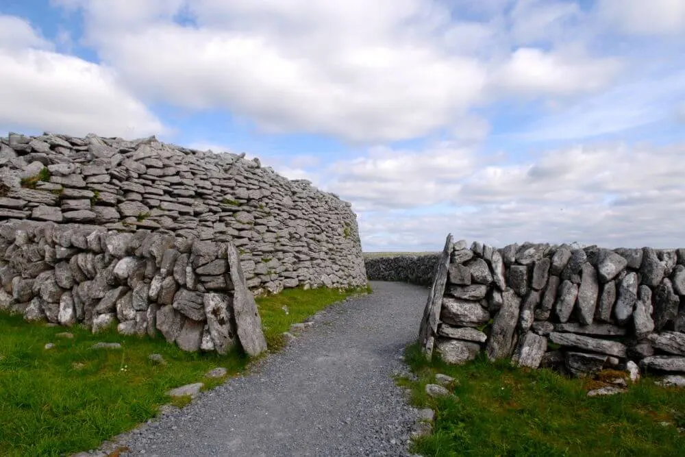 Fairy fort / stone ringfort in Deerpark (burren By.)Fairy fort / stone ringfort · 407 yd
Explorer Tom Fairy fort / stone ringfort in Deerpark sits on a ridge like it’s guarding the world’s least interesting secret. It’s…
 Megalithic structure in CaherfaddaMegalithic structure · 693 yd
Explorer Tom Megalithic structure in Caherfadda is a wedge tomb where the stones are all arguing about who’s holding up what. One…
 Enclosure in SheshymoreEnclosure · 710 yd
Explorer Tom Enclosure in Sheshymore makes a weird rattling sound at night that I'm pretty sure is just wind getting stuck in the…
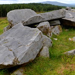 Wedge tomb in Deerpark (burren By.)Wedge tomb · 1059 yd
Explorer Tom Wedge tomb in Deerpark claims it’s older than your granddad’s grandfather, which I think is a massive stretch of the…
 Leamaneh Castle (in ruins)Castle, tower house · 1293 yd
Explorer Tom Leamaneh Castle in Leamaneh North is showing off its five-storey ego again, thinking it’s too good for the locals. It…
 Leamaneh CastleCastle · 1304 yd
Explorer Tom Leamaneh Castle looks like two centuries got into a row and decided to share one wall. A late-fifteenth-century tower…
 Court tomb in Leamaneh NorthCourt tomb · 1356 yd
Explorer Tom Court tomb in Leamaneh North has strict rules: no phones, no loud voices, and absolutely no asking why there are two…
 Wedge tomb in Clooneen (corcomroe By.)Wedge tomb · 1616 yd
Explorer Tom Wedge tomb in Clooneen is listed as a cist, which sounds like a storage unit for very old stuff. The ghost living there…
 CastleCastle, unclassified · 1.0 mi
Explorer Tom Castle Ballycasheen in County Clare was left to Teige by his dad, who clearly had a sense of humour. The dog that…
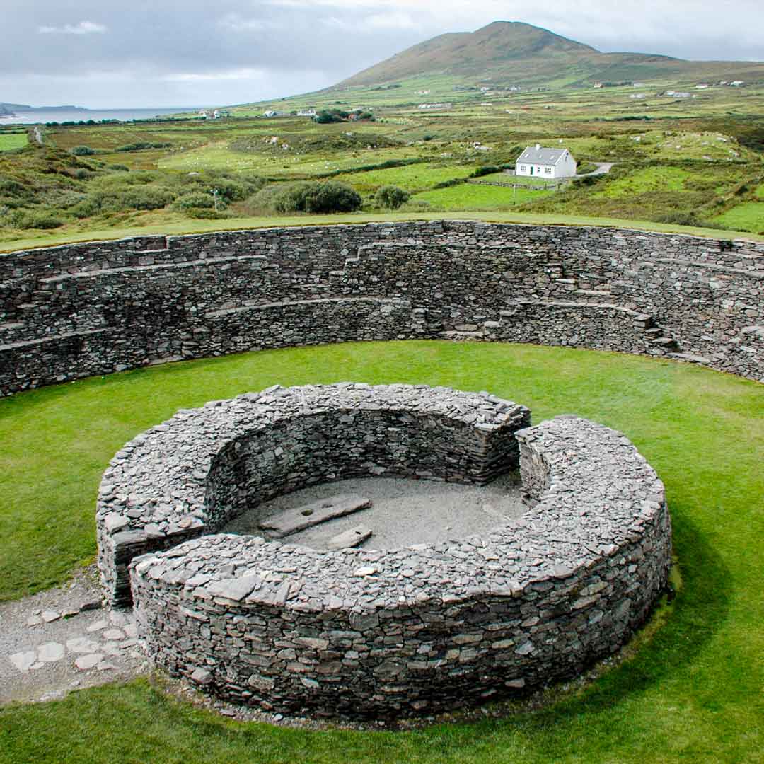 Fairy fort / stone ringfort in Ballyganner South,clooneen (corcomroe By.)Fairy fort / stone ringfort · 1.5 mi
Explorer Tom Fairy fort / stone ringfort in Ballyganner South, Clooneen is perched on a ridge overlooking a ravine with great views.…
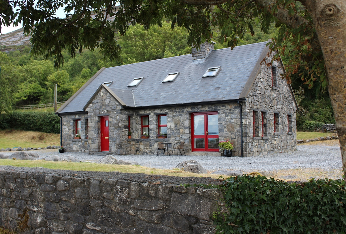 Cist in Ballyganner SouthCist · 1.5 mi
Explorer Tom Cist in Ballyganner South is just sitting there, wondering why the wind keeps picking on it for being small. It’s…
More archaeology and monuments in County Clare · All of County Clare

What do you know about this place?Tap to add a comment or ask a question