What is recorded here
Ó Danachair (1955, 216) recorded the following details about this holy well; 'Toberaclareena on 1840 map. The well is on the south side of the road, about five feet below road level, and reached from the road by a flight of steps. It is now dry and overgrown by bushes and briers. The spring issues on the north side of the road and is sometimes used for domestic purposes. Old people in the district remember rounds being made, and rags hanging on the bushes, but devotions have long since ceased'.
Compiled by: Caimin O'Brien
Date of upload: 02 July 2019
Toberaclareena is associated with Saint Clare, and local tradition holds that the well was known for its healing properties, particularly for skin ailments. The well's name and location suggest a long-standing devotional practice, though specific folklore connected to the site is not well documented.
The monument record does not grant public access. Check the route and ask the landowner before entering private land.
- What survives
- Recorded monument
Places near here
 RoadRoad, road/trackway · 383 yd
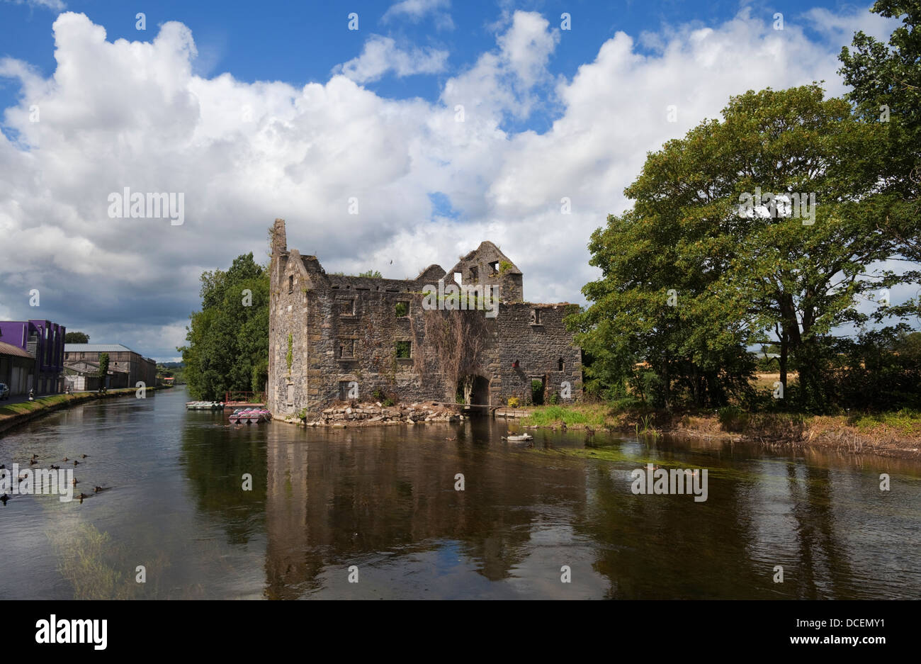 BarrowBarrow, ditch barrow · 405 yd
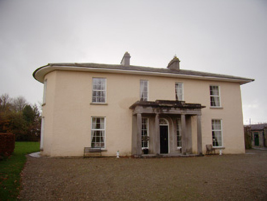 Milltown Parkcountry house · 731 yd
 Enclosure in Milltown (coshma By.)Enclosure · 939 yd
 Ballygrennan Castle (in ruins)Castle, tower house · 1145 yd
 Kilballyowen HouseCastle, unclassified · 1664 yd
 Glen BogForest · 1.6 mi
 KnockainyMountain / peak · 2.2 mi
 Flat cemetery in Knockainy WestFlat cemetery · 3.0 mi
 St Patrick's WellSpring · 5.9 mi
 Edmund's WellSpring · 6.4 mi
 Ballinvreena LoopVisitor information · 6.8 mi