
What is recorded here
In reclaimed wet pasture, 110m SW of Morningstar River that forms townland boundary with Milltown. Enclosures (LI040-247/248----) and possible barrows (LI040-253/254----) lie to the E . Not marked on OSi historic maps. Linear features identified as a possible trackway during examination of aerial photographs (BGE 1/10,000, 60) taken 03/11/1984 on Bórd Gáis Éireann gas pipeline. Monument visible as a linear cropmark (L c. 400m) running NW-SE on Digital Globe orthoimage taken between 2011-13 and on Google Earth orthoimage taken 20/09/2020. It is not clear if this linear feature is the route of the gas pipeline as the original photograph showing the linear feature is not present in the paper file for this potential monument.
See attached Google Earth orthoimages.
Compiled by: Fiona Rooney
Date of upload: 8 June 2021
The monument record does not grant public access. Check the route and ask the landowner before entering private land.
- What survives
- Recorded monument
Places near here
 BarrowBarrow, ditch barrow · 294 yd
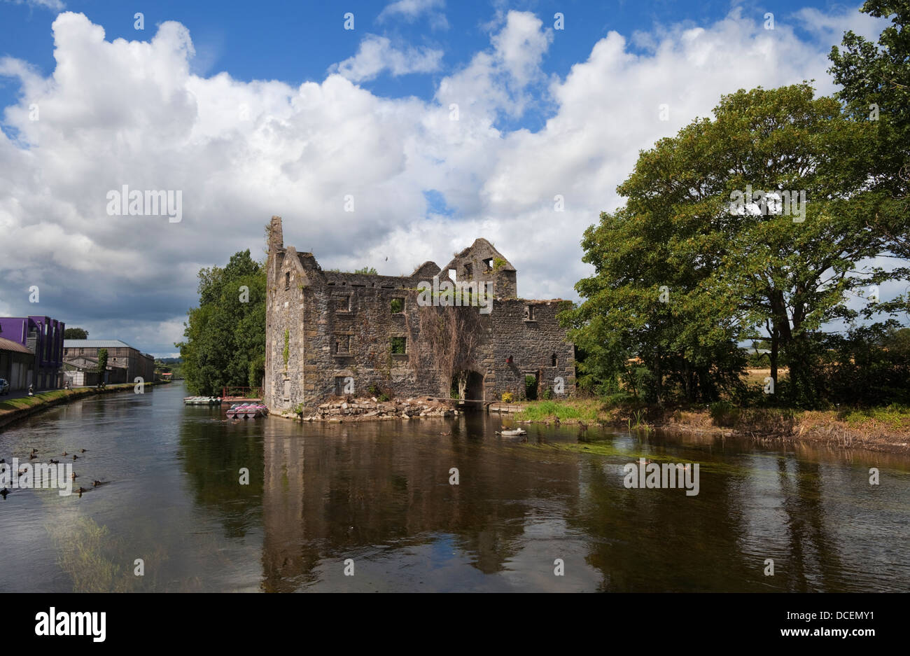
 Ballygrennan Castle (in ruins)Castle, tower house · 769 yd
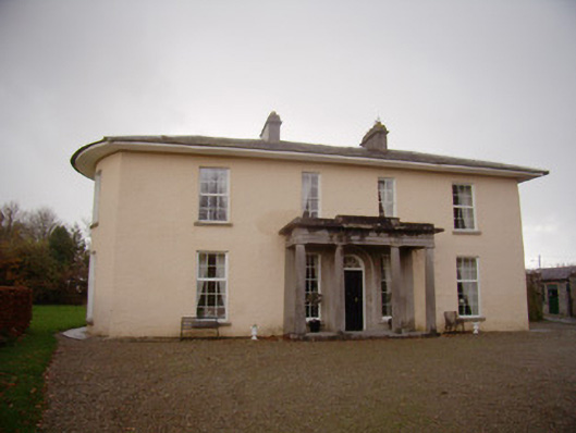 Milltown Parkcountry house · 851 yd
 Enclosure in Milltown (coshma By.)Enclosure · 977 yd
 Ballyvulhane Bridgebridge · 1321 yd
 Castle (in ruins)Castle, unclassified · 1566 yd
 Glen BogForest · 1.9 mi
 KnockainyMountain / peak · 2.4 mi
 Flat cemetery in Knockainy WestFlat cemetery · 3.1 mi
 St Patrick's WellSpring · 5.9 mi
 Edmund's WellSpring · 6.4 mi
 Ballinvreena LoopVisitor information · 6.7 mi
Other information
Photo: Credit not shown in the picture search · Rights wording not checked; contact us if this picture should be removed