
What is recorded here
Tober Well is gone beneath pipes and tanks, its holy water redirected into a modern scheme on the SE slope of Dooish Mountain. What was once a ritual drinking place for humans and perhaps horses now flows through engineering instead of prayer. The mountain keeps its part, pressing water through rock and into containers designed for living rather than wondering.
The site of this 'holy well' has been incorporated into a modern water scheme. It is situated on the SE slope of Dooish Mountain in good land.
The above description was derived from the 'Archaeological Survey of County Donegal. A description of the field antiquities of the County from the Mesolithic Period to the 17th century.' Compiled by: Brian Lacey with Eamon Cody, Claire Cotter, Judy Cuppage, Noel Dunne, Vincent Hurley, Celie O'Rahilly, Paul Walsh and Seán Ó Nualláin (Lifford: Donegal County Council, 1983). In certain instances the entries have been revised and updated.
Date of upload: 22 September 2008
Linked to Saint Ed, the well was traditionally associated with healing and was likely a site of pilgrimage. Local folklore suggests that the water was used to cure ailments, particularly those of the eyes and skin.
The monument record does not grant public access. Check the route and ask the landowner before entering private land.
- What survives
- Recorded monument
Places near here
 Listicall Upper Earthen RingfortFairy fort / earthen ringfort · 1362 yd
 Castlethird Stone RingfortFairy fort / stone ringfort · 1747 yd
 Corn Millmill (water) · 1.2 mi
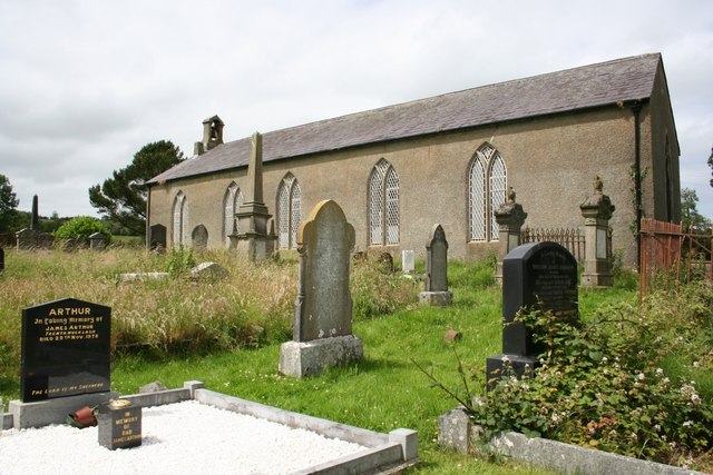 Taughboyne Church of Ireland Churchchurch/chapel · 1.3 mi
 CastleCastle, unclassified · 3.4 mi
 Mongavlin CastleHouse, fortified house · 4.0 mi
 Emmery Celtic CrossWood · 4.0 mi
 Gortmonly HillMountain / peak · 5.4 mi
 Grianán of AileachFairy fort / stone ringfort · 5.7 mi
 Greenan MountainMountain / peak · 5.7 mi
 RowanRowan · 6.1 mi
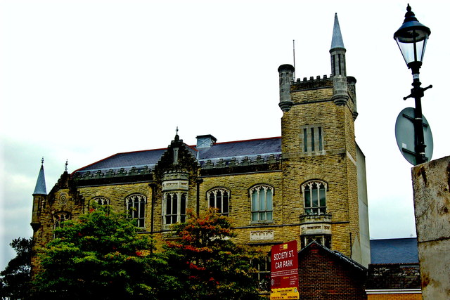 Apprentice Boys of Derry and Siege MuseumMuseum · 7.7 mi
Other information
Photo: Credit not shown in the picture search · Rights wording not checked; contact us if this picture should be removed