What is recorded here
Marked as a single well on the 1837 ed. of the OS 6-inch map and as two pm the 1915 ed. but it is described as Tober Reeoge - the well of the young king - on both. It is situated in a low-lying landscape and is described locally as two circular wells, one of which was holy while the other was used for secular purposes. It is now modernised into a concrete well with no evidence of veneration, and with a pump-house nearby. There is a record of an inscribed stone commemoration Fr. Patrick Mulligan who erected a stone wall at the location in 1721 (Siggins 1992, 77), but this is now missing. (O'Flanagan 1931, vol. 1, 39)
Compiled by: Michael Moore
Date of revised upload: 15 October, 2015
Tober Reeoge, or the Well of the Young King, is associated with a local tradition linking it to a youthful monarch, possibly of mythological or early historical origin. The name suggests a connection to a figure of royal or legendary status, though specific folklore or recorded cures tied to the site are not well documented.
The monument record does not grant public access. Check the route and ask the landowner before entering private land.
- What survives
- Recorded monument
Places near here
 Hangman's HillMountain / peak · 1242 yd
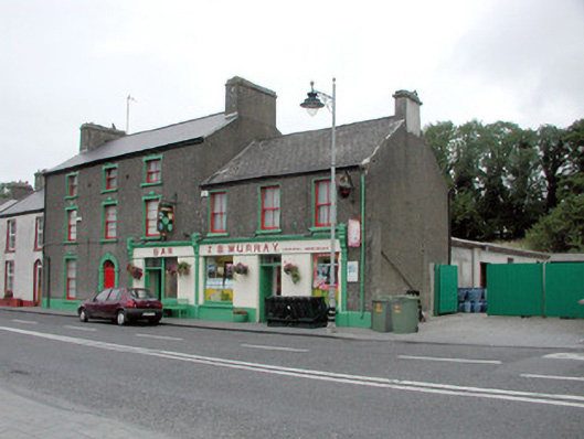 J.S. Murrayhouse · 1507 yd
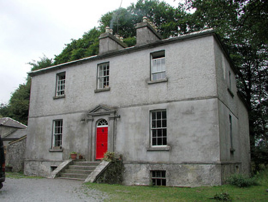 Killinvoy Houserectory/glebe/vicarage/curate's house · 1552 yd
 Embanked enclosureFairy fort / earthen ringfort · 1.1 mi
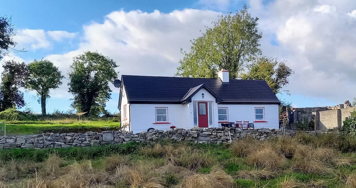 Not idicatedFairy fort / earthen ringfort · 1.1 mi
 Galey CastleCastle, tower house · 1.6 mi
 Ballymurray ForestForest · 1.7 mi
 Galey BayBay · 1.7 mi
 Cruit BayBay · 1.9 mi
 Lower WoodForest · 1.9 mi
 CastleCastle, unclassified · 2.0 mi
 Sedgy IslandIslet · 2.6 mi
Other information
Photo: Credit not shown in the picture search · Rights wording not checked; contact us if this picture should be removed