
What is recorded here
On a slightly undulating landscape. Circular grass-covered area (diam. 47m WNW-ESE) defined by an earthen bank (at WNW: Wth 7m; int. H 0.4m; ext. H 0.6m) which was truncated by a WNW-ESE field boundary, now removed, at S, and an outer fosse (at WNW: Wth of top 7.5m; Wth of base 2m; ext. D 0.35m) SW-NNW. There is no identifiable original entrance. Rath (RO042-028----) is c. 140m to the N.
Compiled by: Michael Moore
Date of upload: 24 August 2010
The monument record does not grant public access. Check the route and ask the landowner before entering private land.
- What survives
- Recorded monument
Places near here
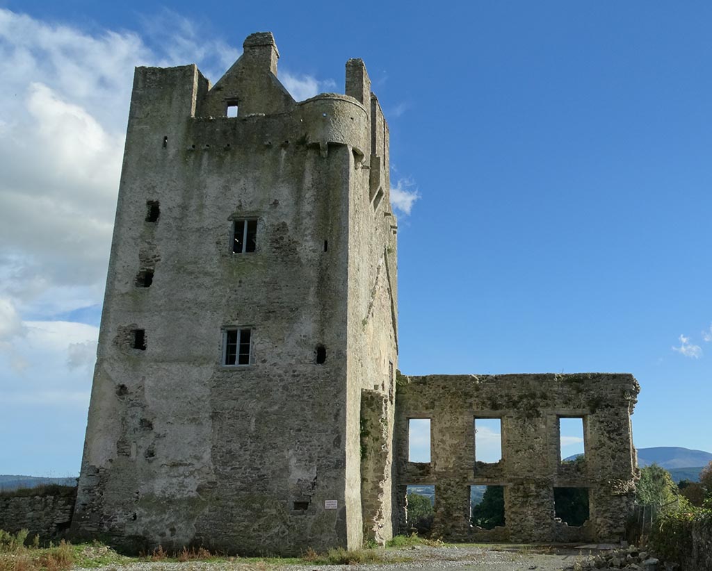 IndicatedFairy fort / earthen ringfort · 1591 yd
 Sweathouse in CrowsgapSweathouse · 1690 yd
 Mote Parkdemesne walls/gates/railings · 1.0 mi
 Hangman's HillMountain / peak · 1.1 mi
 Ballymurray ForestForest · 1.2 mi
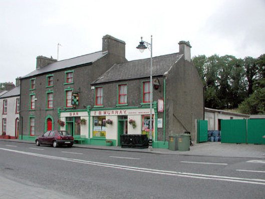 J.S. Murrayhouse · 1.2 mi
 Lower WoodForest · 1.7 mi
 CastleCastle, tower house · 2.1 mi
 Galey CastleCastle, tower house · 2.4 mi
 Galey BayBay · 2.6 mi
 Cruit BayBay · 2.9 mi
 Sedgy IslandIslet · 3.6 mi
Other information
Photo: Credit not shown in the picture search · Rights wording not checked; contact us if this picture should be removed