
What is recorded here
Lisdalon was an O'Kelly centre (O'Donovan 1843, 112-3) in the 15th century and it is listed in 1585. A garrison was maintained by Sir Richard Bingham at Lisdalaun in the 1590s (Cronin 1980, 116), and a castle is marked at Lisdallon on the Strafford map of c. 1636, although no land there was forfeited in the 1650s (Simington 1949, 114-5, Athlone (328)). Situated at the bottom of a NW-facing slope. This is a subrectangular grass-covered rubble mound (dims 27m NW-SE; 21m NE-SW) with an uneven surface (max. H 1.65m). Quoinstones from this structure were re-used in building Sandfield House, c. 180m to the WNW, where there are other architectural fragments (RO042-116----).
Compiled by: Michael Moore
Date of upload: 24 August 2010
The castle at Lisdaulan was held by the O'Kellys in the 15th century and later garrisoned by Sir Richard Bingham in the 1590s during English military campaigns in the region. It is remembered as a strategic site in the English efforts to control Munster during the late 16th century.
The monument record does not grant public access. Check the route and ask the landowner before entering private land.
- What survives
- Recorded monument
Places near here
 Sweathouse in CrowsgapSweathouse · 1002 yd
 Not inidcatedFairy fort / earthen ringfort · 1204 yd
 Scregg Housecountry house · 1690 yd
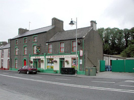 J.S. Murrayhouse · 1.5 mi
 Hangman's HillMountain / peak · 1.6 mi
 Ballymurray ForestForest · 2.4 mi
 TogherfinnForest · 2.5 mi
 Galey CastleCastle, tower house · 2.6 mi
 Galey BayBay · 2.8 mi
 Castle (Site of)Castle, unclassified · 3.3 mi
 InchmoreIslet · 3.3 mi
 Cruit PointHeadland · 3.4 mi
Other information
Photo: Credit not shown in the picture search · Rights wording not checked; contact us if this picture should be removed