
What is recorded here
Situated within a gully on the S bank of a meandering W-E stream. Wilde noted that it was neglected and disused in his time (1849, 170) and Thunder writing in 1886-7 also recorded its ‘neglected’ state. Patrick is depicted and named on the 1836 and 1908 editions of the OS 6-inch map. The well is supposed to have a stone with the mark of St Patrick's knees on it (IFC: Schools' Collection, vol. 714, 20). It was recorded as a rectangular masonry sunken feature in 1969 (SMR file) but it had been become obscured by 2019. Archaeological testing (20E0223) by R. Tobin demonstrated that ground level had been raised (c. 0.6m) when a pumphouse c. 2m S of the well damaged the original masonry structure (dims c. 1m x c. 1m), part of which survived with a channel leading N to the stream. Local information records that Tober Patrick was c. 200m further E and on the N side of the stream. (Tobin and Coughlan 2021)
Compiled by: Paul Walsh
Date of upload: 12 September 2016
Amended: 23 March 2023
Tobin, R. and Coughlan, T. 2021 N51 Dunmoe Phase 2 Scheme, County Meath. Tober Patrick. Licence: 20E0223. Preliminary unpublished report, IAC Archaeology
Linked to Saint Patrick, the well is traditionally associated with healing and protection, reflecting the widespread veneration of the saint in early Christian Ireland. Its neglect by the mid-19th century suggests a decline in local pilgrimage or ritual use, though it may have once been an important site for seasonal or votive offerings.
The monument record does not grant public access. Check the route and ask the landowner before entering private land.
- What survives
- Recorded monument
Places near here
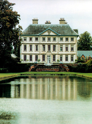 Stackallan Housecountry house · 521 yd
 Enclosure in StackallanEnclosure · 743 yd
 Cocker's WoodWood · 859 yd
 St. Marys ChurchChurch · 878 yd
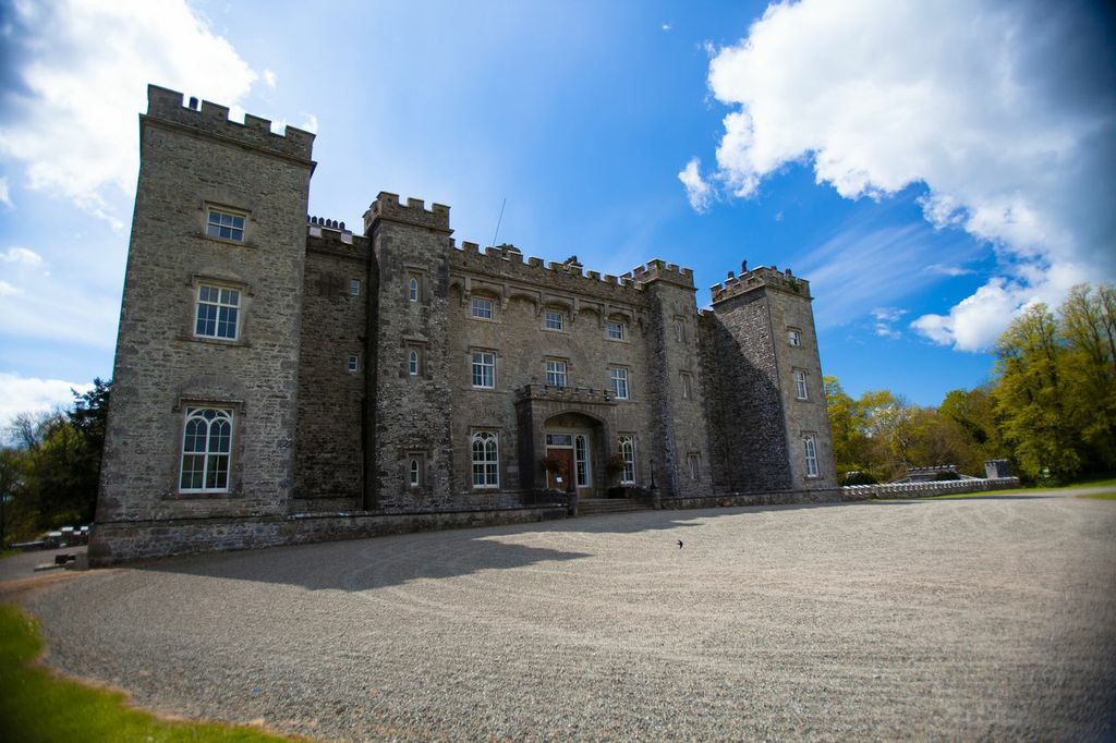 LugareeRitual site, pond · 950 yd
 Cruicetown WoodWood · 1426 yd
 CastleCastle, motte · 1.5 mi
 Dunmoe CastleCastle, unclassified · 1.8 mi
 Donaghmore Round TowerHeritage attraction · 2.7 mi
 RiverviewMemorial · 2.9 mi
 Pat's Art StudioGallery · 2.9 mi
 Carn HillMountain / peak · 3.0 mi
Other information
Photo: Credit not shown in the picture search · Rights wording not checked; contact us if this picture should be removed