What is recorded here
In wet low-lying marshland close to td. boundary. A natural spring well, beside which lies a small rectangular round-headed slab (H 0.99m, Wth 0.35m) depleting a crucifixion scene and dated 1762. II - North Galway'.
From the National Monuments Service (Archaeological Survey of Ireland) record GA072-043
The monument record does not grant public access. Check the route and ask the landowner before entering private land.
- What survives
- Recorded monument
Places near here
Photo credits
- National Inventory of Architectural Heritage
- Kk, Wikimedia Commons · CC0
- abdallahh from Montréal, Canada, Wikimedia Commons · CC BY 2.0
- Andreas F. Borchert, Wikimedia Commons · CC BY-SA 4.0
- Willthacheerleader18, Wikimedia Commons · CC0
- Mike Searle, Geograph · CC BY-SA 2.0
- Jan Wyk, Wikimedia Commons · Public domain
- AmandaMcCrann, Wikimedia Commons · CC BY-SA 4.0
LissardFairy fort / ringfort · 773 yd Garrymore HouseHouse · 1.1 miwater pump1.5 mihandball alley1.5 miEuropean Crab Apple3.0 miWestern Redcedar3.2 miMenlough iraMemorial · 4.1 miKilconnell AbbeyHeritage attraction · 5.6 miClonbrock CastleCastle, tower house · 6.2 miCastle ffrenchCastle, unclassified · 9.0 miBattle of AughrimMajor battlefield · 10 miKellys MonumentMonumental structure · 13 mi
 Garrymore HouseHouse · 1.1 mi
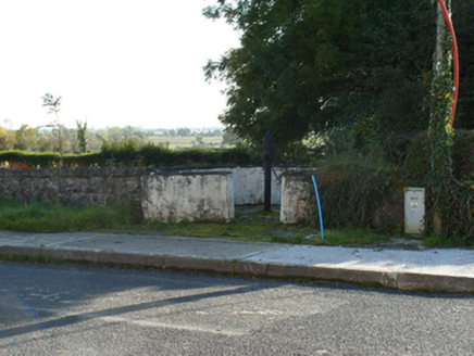 water pump1.5 mi
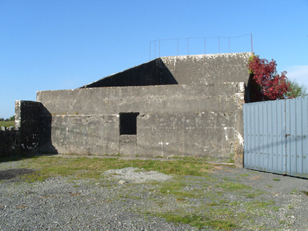 handball alley1.5 mi
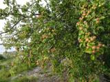 European Crab Apple3.0 mi
 Western Redcedar3.2 miMenlough iraMemorial · 4.1 mi
 Kilconnell AbbeyHeritage attraction · 5.6 mi
 Clonbrock CastleCastle, tower house · 6.2 mi
 Castle ffrenchCastle, unclassified · 9.0 mi
.jpg/250px-Battle_of_Aughrim_by_Jan_Wyk_(cropped).jpg "Photo: Jan Wyk, Wikimedia Commons · Public domain") Battle of AughrimMajor battlefield · 10 mi
Battle of AughrimMajor battlefield · 10 mi Kellys MonumentMonumental structure · 13 mi
More archaeology and monuments in County Galway · All of County Galway
What do you know about this place?